File:Carte espagnole fleuve Saint Laurent.jpg
From HandWiki
Size of this preview: 800 × 476 pixels. Other resolutions: 640 × 381 pixels | 4,168 × 2,479 pixels.
Original file (4,168 × 2,479 pixels, file size: 1.68 MB, MIME type: image/jpeg)
Summary
| Description |
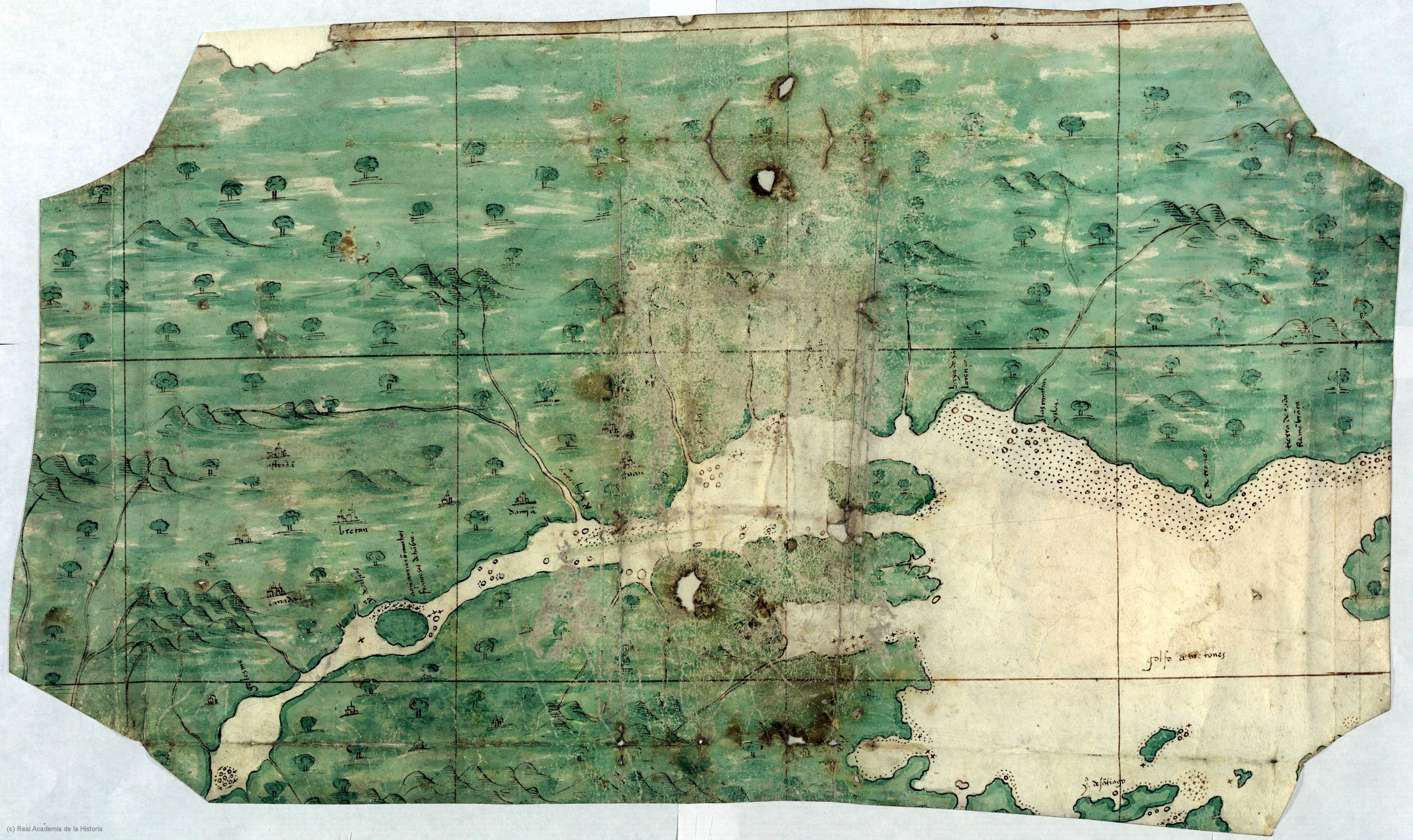
Español: Mapa de la región del río San Lorenzo (en el actual Canadá) realizado en España el siglo XVI y conservado en la Real Academia de la Historia.
English: Map of the Saint Lawrence river region (in today's Canada) made in Spain in the 16th century, and preserved today at the Real Academia de la Historia.
Français : Carte de la région du fleuve Saint Laurent (actuel Canada) réalisée en Espagne au XVIe siècle, et conservée à la Real Academia de la Historia. |
| Date | circa 1541 |
| Source | Real Academia de la Historia |
| Author | Anónimo, siglo XVI, España |
Información suplementaria en el sitio de la RAH archive copy at the Wayback Machine
Licensing
|
This work is in the public domain in its country of origin and other countries and areas where the copyright term is the author's life plus 100 years or fewer. | |
| This file has been identified as being free of known restrictions under copyright law, including all related and neighboring rights. | |
File history
Click on a date/time to view the file as it appeared at that time.
| Date/Time | Thumbnail | Dimensions | User | Comment | |
|---|---|---|---|---|---|
| current | 00:00, 27 July 2012 | | 4,168 × 2,479 (1.68 MB) | imagescommonswiki>Hispalois |
File usage
The following file is a duplicate of this file (more details):
- File:Carte espagnole fleuve Saint Laurent.jpg from Wikimedia Commons
The following page uses this file:

