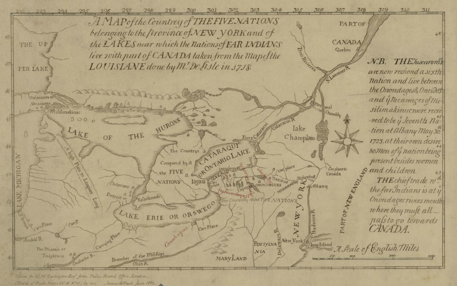
File:Map of the Country of the Five Nations belonging to the province of New York and of the Lakes near which the Nations of Far Indians live with part of Canada taken from the Map of the Louisiane done 1730.png
From HandWiki
Size of this preview: 800 × 500 pixels. Other resolutions: 640 × 400 pixels | 936 × 585 pixels.
Original file (936 × 585 pixels, file size: 705 KB, MIME type: image/png)
Summary
Submitted to commons.wikimedia.org
Licensing
This file is licensed under the Attribution-Share Alike 3.0 Unported (CC BY-SA 3.0) license. You are free:
- to share – to copy, distribute and transmit the work
- to remix – to adapt the work
Under the following conditions:
- attribution – You must give appropriate credit, provide a link to the license, and indicate if changes were made. You may do so in any reasonable manner, but not in any way that suggests the licensor endorses you or your use.
- share alike – If you remix, transform, or build upon the material, you must distribute your contributions under the same or compatible license as the original.
File history
Click on a date/time to view the file as it appeared at that time.
| Date/Time | Thumbnail | Dimensions | User | Comment | |
|---|---|---|---|---|---|
| current | 04:23, 5 October 2022 | | 936 × 585 (705 KB) | Maintenance script (talk | contribs) | == Summary == Submitted to commons.wikimedia.org == Licensing == {{CC BY-SA 3.0}} |
You cannot overwrite this file.
File usage
The following 2 pages use this file:

