File:Satellite image of Liechtenstein on Landsat 7.jpg
From HandWiki
Size of this preview: 324 × 599 pixels. Other resolution: 638 × 1,180 pixels.
Original file (638 × 1,180 pixels, file size: 187 KB, MIME type: image/jpeg)
Summary
| Description |
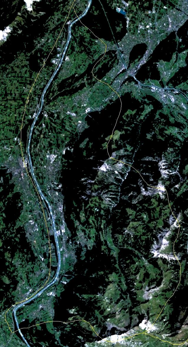
English: Satellite image of Liechtenstein on Landsat 7 with approximate borders. |
| Date | 28 September 2005 (upload date) |
| Source | Satellite imagery taken by screenshot from NASA World Wind software |
| Author | NASA |
| Object location | | View this and other nearby images on: OpenStreetMap |
|---|
Licensing
| This image is in the public domain because it is a screenshot from NASA’s globe software World Wind using a public domain layer, such as Blue Marble, MODIS, Landsat, SRTM, USGS or GLOBE.
|
 |
File history
Click on a date/time to view the file as it appeared at that time.
| Date/Time | Thumbnail | Dimensions | User | Comment | |
|---|---|---|---|---|---|
| current | 12:06, 30 November 2005 | | 638 × 1,180 (187 KB) | imagescommonswiki>Wiki-vr | lighter image |
File usage
The following file is a duplicate of this file (more details):
- File:Satellite image of Liechtenstein on Landsat 7.jpg from Wikimedia Commons
The following page uses this file:

