File:Southernmost Brazil and Uruguay.jpg
From HandWiki

Size of this preview: 461 × 599 pixels. Other resolutions: 369 × 480 pixels | 1,000 × 1,300 pixels.
Original file (1,000 × 1,300 pixels, file size: 307 KB, MIME type: image/jpeg)
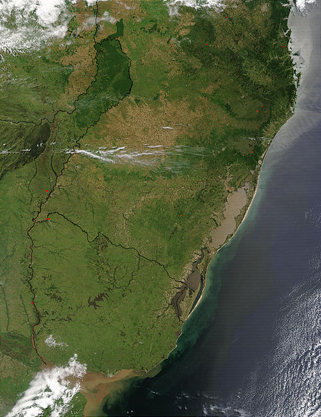
| Description | Foto do estado brasileiro do Rio Grande do Sul tomada desde satélite. Se apreciam claramente os limites com Brasil, Paraguai e Argentina, e o Rio da Prata ao sul. | |||||
| Date | ||||||
| Source | NASA | |||||
| Author | Jacques Descloitres, MODIS Rapid Response Team, NASA/GSFC. | |||||
| Permission (Reusing this file) |
|

File history
Click on a date/time to view the file as it appeared at that time.
| Date/Time | Thumbnail | Dimensions | User | Comment | |
|---|---|---|---|---|---|
| current | 15:33, 15 June 2007 | | 1,000 × 1,300 (307 KB) | imagescommonswiki>Deyvid Setti~commonswiki | {{Information| |Description = Foto do estado brasileiro do Rio Grande do Sul tomada desde satélite. Se aprecian claramente los límites con Brasil, Paraguai e Argentina, e o [[:p |
File usage
The following file is a duplicate of this file (more details):
- File:Southernmost Brazil and Uruguay.jpg from Wikimedia Commons
The following 2 pages use this file:

