File:ViewTowardsCaltonHill.JPG
From HandWiki

Size of this preview: 800 × 600 pixels. Other resolutions: 640 × 480 pixels | 1,600 × 1,200 pixels.
Original file (1,600 × 1,200 pixels, file size: 948 KB, MIME type: image/jpeg)
Summary
| Camera location | | View this and other nearby images on: OpenStreetMap |
|---|
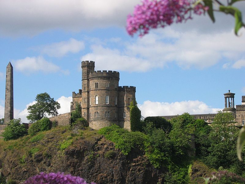
| Description | view towards the Governor's House on Calton Hill. This building is all that remains of the old Calton Jail. |
| Date | |
| Source | Own work |
| Author | Duimdog |
Licensing
I, the copyright holder of this work, hereby publish it under the following licenses:

|
Permission is granted to copy, distribute and/or modify this document under the terms of the GNU Free Documentation License, Version 1.2 or any later version published by the Free Software Foundation; with no Invariant Sections, no Front-Cover Texts, and no Back-Cover Texts. A copy of the license is included in the section entitled GNU Free Documentation License. |
| This file is licensed under the Creative Commons Attribution-Share Alike 3.0 Unported license. | ||
| ||
| This licensing tag was added to this file as part of the GFDL licensing update. |
This file is licensed under the Creative Commons Attribution-Share Alike 2.5 Generic license.
- You are free:
- to share – to copy, distribute and transmit the work
- to remix – to adapt the work
- Under the following conditions:
- attribution – You must give appropriate credit, provide a link to the license, and indicate if changes were made. You may do so in any reasonable manner, but not in any way that suggests the licensor endorses you or your use.
- share alike – If you remix, transform, or build upon the material, you must distribute your contributions under the same or compatible license as the original.
You may select the license of your choice.
File history
Click on a date/time to view the file as it appeared at that time.
| Date/Time | Thumbnail | Dimensions | User | Comment | |
|---|---|---|---|---|---|
| current | 08:10, 12 August 2007 | | 1,600 × 1,200 (948 KB) | imagescommonswiki>Duimdog | {{Information |Description=view towards Calton Hill. Who knows what building this is? |Source=self-made |Date=2007-08-01 |Author= Duimdog }} |
File usage
The following file is a duplicate of this file (more details):
- File:ViewTowardsCaltonHill.JPG from Wikimedia Commons
The following page uses this file:

