File:1920 Maldives map BPL 12595 detail.png
Original file (1,069 × 748 pixels, file size: 1.53 MB, MIME type: image/png)
| Description |
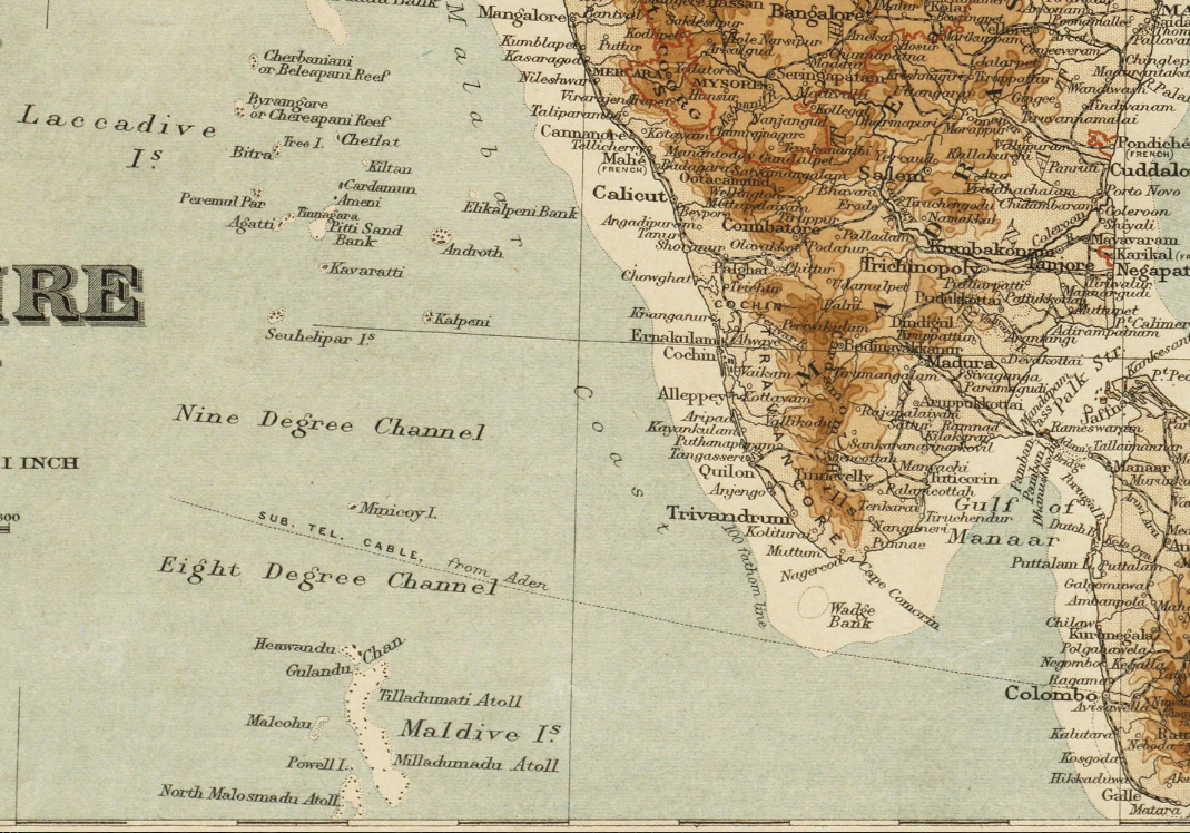
Detail of map: The Indian Empire and Ceylon Publisher: Edward Stanford Ltd. Date: 1920 Scale: 1:7,500,000 |
| Date | |
| Source | Boston Public Library, Map Center (Boston, Massachusetts, USA) / http://maps.bpl.org/id/12595 |
| Author | Edward Stanford Ltd. |
|
This work is in the public domain in its country of origin and other countries and areas where the copyright term is the author's life plus 70 years or fewer.
| |
| This file has been identified as being free of known restrictions under copyright law, including all related and neighboring rights. | |
File history
Click on a date/time to view the file as it appeared at that time.
| Date/Time | Thumbnail | Dimensions | User | Comment | |
|---|---|---|---|---|---|
| current | 15:25, 23 January 2013 | | 1,069 × 748 (1.53 MB) | imagescommonswiki>M2545 | {{Information |Description=Detail of map: The Indian Empire and Ceylon Publisher: Edward Stanford Ltd. Date: 1920 Scale: 1:7,500,000 |Source=Boston Public Library, Map Center (Boston, Massachusetts, USA) / http://maps.bpl.org/id/12595 |Date=1920... |
File usage
The following file is a duplicate of this file (more details):
- File:1920 Maldives map BPL 12595 detail.png from Wikimedia Commons
The following 2 pages use this file:

