File:Algeria Tunisia Locator.png
From HandWiki
Size of this preview: 659 × 600 pixels. Other resolutions: 527 × 480 pixels | 1,160 × 1,056 pixels.
Original file (1,160 × 1,056 pixels, file size: 80 KB, MIME type: image/png)
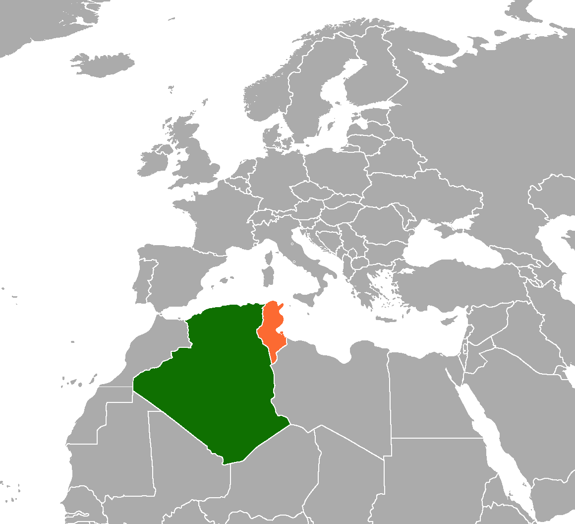
| Description | Locator map showing Algeria and Tunisia | ||
| Date | |||
| Source | self-made based on Image:BlankMap-World6, compact.svg | ||
| Author | Mangostar | ||
| Permission (Reusing this file) |
|
File history
Click on a date/time to view the file as it appeared at that time.
| Date/Time | Thumbnail | Dimensions | User | Comment | |
|---|---|---|---|---|---|
| current | 22:53, 30 September 2020 | | 1,160 × 1,056 (80 KB) | imagescommonswiki>Aquintero82 | Updated map |
File usage
The following file is a duplicate of this file (more details):
- File:Algeria Tunisia Locator.png from Wikimedia Commons
The following 2 pages use this file:

