File:C75193s5 Ant.Map Relief Inlet.jpg
From HandWiki

Size of this preview: 684 × 600 pixels. Other resolutions: 547 × 480 pixels | 3,714 × 3,257 pixels.
Original file (3,714 × 3,257 pixels, file size: 1.02 MB, MIME type: image/jpeg)
| Description |
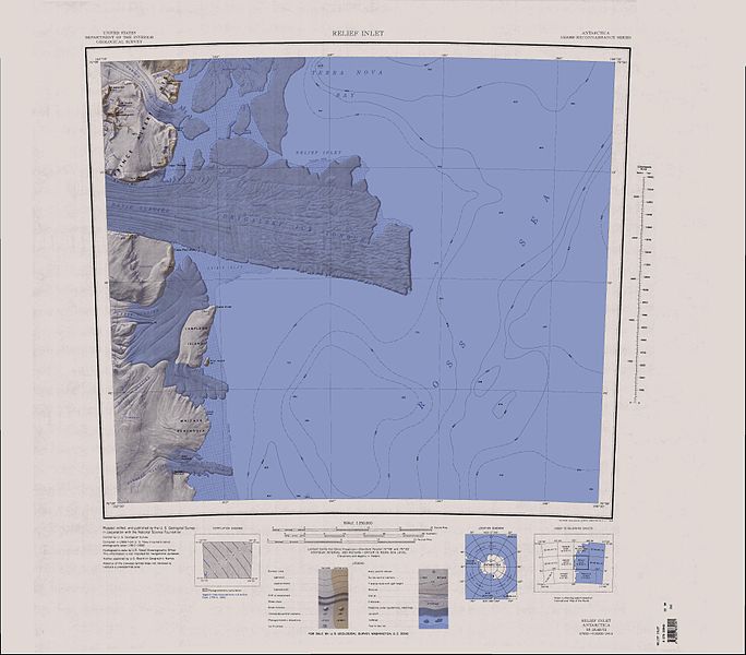
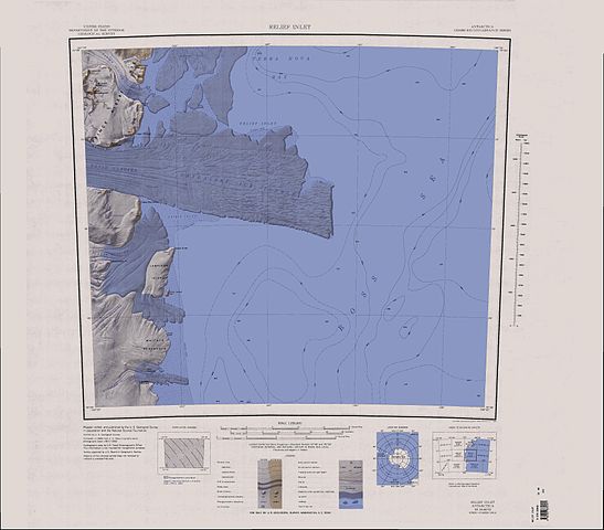
English: Map of Antarctica by the United States Antarctic Resource Center of the US Geological Society. |
| Source | USGS |
| Author | USGS |
This image is in the public domain in the United States because it only contains materials that originally came from the United States Geological Survey, an agency of the United States Department of the Interior. For more information, see the official USGS copyright policy.
|
File history
Click on a date/time to view the file as it appeared at that time.
| Date/Time | Thumbnail | Dimensions | User | Comment | |
|---|---|---|---|---|---|
| current | 06:41, 15 April 2005 | | 3,714 × 3,257 (1.02 MB) | imagescommonswiki>Achim Raschka | Map of Antarctica by the United States Antarctic Ressource Center of the US Geological Society. {{PD-US}} Copyrights and Trademarks USGS-authored or produced data and information are in the public domain. While the content of most USGS web pages is in th |
File usage
The following file is a duplicate of this file (more details):
- File:C75193s5 Ant.Map Relief Inlet.jpg from Wikimedia Commons
The following page uses this file:

