File:Empire d'Autriche 1914 Bohême.png
From HandWiki

Size of this preview: 800 × 566 pixels. Other resolutions: 640 × 453 pixels | 3,507 × 2,480 pixels.
Original file (3,507 × 2,480 pixels, file size: 4.14 MB, MIME type: image/png)

Summary
| Description |
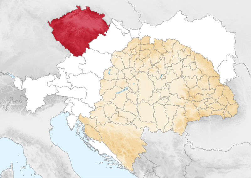
English: Map of the Kingdom of Bohemia (red) within Cisleithania (white) and Austria-Hungary, circa 1914. Français : Carte de la Bohême dans l'empire d'Autriche (1914) |
| Date | |
| Source | Own work |
| Author | Ludovic Lepeltier-Kutasi |
Licensing
I, the copyright holder of this work, hereby publish it under the following license:
This file is licensed under the Creative Commons Attribution-Share Alike 4.0 International license.
- You are free:
- to share – to copy, distribute and transmit the work
- to remix – to adapt the work
- Under the following conditions:
- attribution – You must give appropriate credit, provide a link to the license, and indicate if changes were made. You may do so in any reasonable manner, but not in any way that suggests the licensor endorses you or your use.
- share alike – If you remix, transform, or build upon the material, you must distribute your contributions under the same or compatible license as the original.
File history
Click on a date/time to view the file as it appeared at that time.
| Date/Time | Thumbnail | Dimensions | User | Comment | |
|---|---|---|---|---|---|
| current | 07:23, 5 October 2023 | | 3,507 × 2,480 (4.14 MB) | imagescommonswiki>GPinkerton | Reverted to version as of 16:41, 27 February 2018 (UTC) Commons:Overwriting existing files |
File usage
The following file is a duplicate of this file (more details):
- File:Empire d'Autriche 1914 Bohême.png from Wikimedia Commons
The following page uses this file:

