File:Ethiopia surface.jpg
From HandWiki

Size of this preview: 608 × 600 pixels. Other resolutions: 487 × 480 pixels | 954 × 941 pixels.
Original file (954 × 941 pixels, file size: 117 KB, MIME type: image/jpeg)
Summary
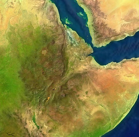
| Description |
English: Ethiopia. Satellite view. |
| Date | 16 June 2005 (upload date) |
| Source | Satellite imagery taken from NASA World Wind software (by screenshot) |
| Author | NASA |
Licensing
| This image is in the public domain because it is a screenshot from NASA’s globe software World Wind using a public domain layer, such as Blue Marble, MODIS, Landsat, SRTM, USGS or GLOBE.
|
 |
File history
Click on a date/time to view the file as it appeared at that time.
| Date/Time | Thumbnail | Dimensions | User | Comment | |
|---|---|---|---|---|---|
| current | 07:24, 16 June 2005 | | 954 × 941 (117 KB) | imagescommonswiki>Rex | {{World Wind}} Category:Deserts |
File usage
The following file is a duplicate of this file (more details):
- File:Ethiopia surface.jpg from Wikimedia Commons
The following page uses this file:

