File:Europe location ENG2.png
From HandWiki

Size of this preview: 800 × 599 pixels. Other resolutions: 640 × 479 pixels | 1,594 × 1,194 pixels.
Original file (1,594 × 1,194 pixels, file size: 728 KB, MIME type: image/png)
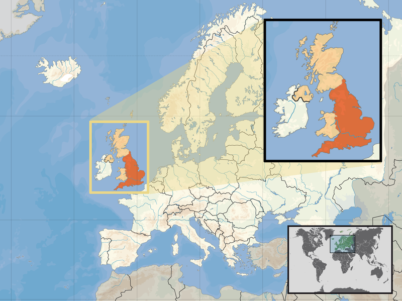
| Description | Location of England in the UK and Europe, on terrain map showing surface and underwater contour areas. | |||
| Date | ||||
| Source | Derived from Wikimedia Commons image of original work forming part of the "Europe location" map series created by David Liuzzo: derived from Image:Europe_location_ENG.png. | |||
| Author | uploaded by User:Kmusser (excerpt from User:David_Liuzzo) | |||
| Permission (Reusing this file) |
|
|||
| Other versions |
|


File history
Click on a date/time to view the file as it appeared at that time.
| Date/Time | Thumbnail | Dimensions | User | Comment | |
|---|---|---|---|---|---|
| current | 09:58, 14 February 2011 | | 1,594 × 1,194 (728 KB) | imagescommonswiki>Beao | Removed border. |
File usage
The following file is a duplicate of this file (more details):
- File:Europe location ENG2.png from Wikimedia Commons
The following page uses this file:

