File:Gambia-map-political.jpg
From HandWiki

Size of this preview: 505 × 599 pixels. Other resolutions: 404 × 480 pixels | 1,040 × 1,234 pixels.
Original file (1,040 × 1,234 pixels, file size: 226 KB, MIME type: image/jpeg)
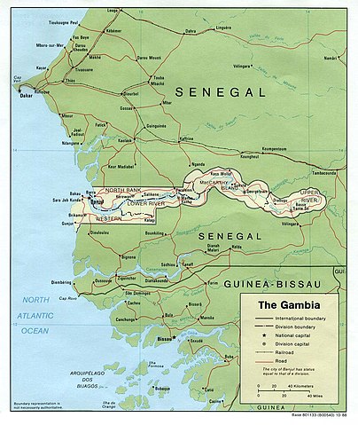
Political map of The Gambia.
Source: [1] from the Perry-Castañeda Library Map Collection.
| This image is a work of a Central Intelligence Agency employee, taken or made as part of that person's official duties. As a Work of the United States Government, this image or media is in the public domain in the United States.
|

|
File history
Click on a date/time to view the file as it appeared at that time.
| Date/Time | Thumbnail | Dimensions | User | Comment | |
|---|---|---|---|---|---|
| current | 11:53, 1 July 2006 | | 1,040 × 1,234 (226 KB) | imagescommonswiki>Bohr~commonswiki | Political map of The Gambia. Source: [http://www.lib.utexas.edu/maps/africa/gambia_pol88.jpg] from the [http://www.lib.utexas.edu/maps/gambia.html Perry-Castañeda Library Map Collection]. {{PD-USGov-CIA}} Category:Maps of Gambia |
File usage
The following file is a duplicate of this file (more details):
- File:Gambia-map-political.jpg from Wikimedia Commons
The following 2 pages use this file:


![[1]](http://www.lib.utexas.edu/maps/africa/gambia_pol88.jpg)