File:Kazakhstan rayons.png
From HandWiki

Size of this preview: 800 × 512 pixels. Other resolutions: 640 × 409 pixels | 1,598 × 1,022 pixels.
Original file (1,598 × 1,022 pixels, file size: 351 KB, MIME type: image/png)
Summary
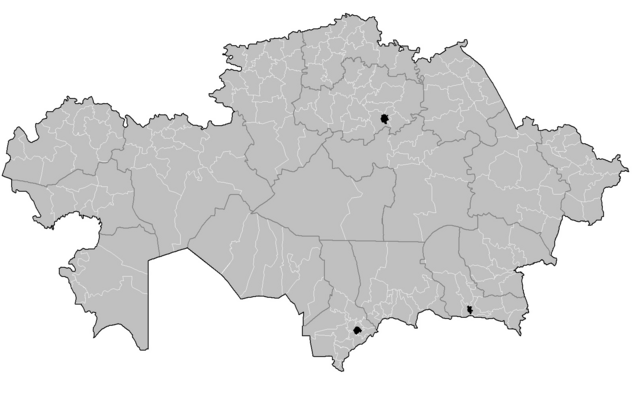
| Description | Map of the rayons of Kazakhstan. Created by Rarelibra 16:49, 3 August 2007 (UTC) for public domain use, using MapInfo Professional v8.5 and various mapping resources. |
| Date | 3 August 2007 (original upload date) |
| Source | No machine-readable source provided. Own work assumed (based on copyright claims). |
| Author | No machine-readable author provided. Rarelibra assumed (based on copyright claims). |
Licensing
| This work has been released into the public domain by its author, I, Rarelibra. This applies worldwide. In some countries this may not be legally possible; if so: I, Rarelibra grants anyone the right to use this work for any purpose, without any conditions, unless such conditions are required by law. |
File history
Click on a date/time to view the file as it appeared at that time.
| Date/Time | Thumbnail | Dimensions | User | Comment | |
|---|---|---|---|---|---|
| current | 17:31, 22 July 2024 | | 1,598 × 1,022 (351 KB) | imagescommonswiki>Casserium | Adding Makanchi district |
File usage
The following file is a duplicate of this file (more details):
- File:Kazakhstan rayons.png from Wikimedia Commons
The following page uses this file:

