File:Kin Ya'a site map.png
From HandWiki

Size of this preview: 800 × 514 pixels. Other resolutions: 640 × 411 pixels | 1,263 × 812 pixels.
Original file (1,263 × 812 pixels, file size: 188 KB, MIME type: image/png)
Summary
| Description |
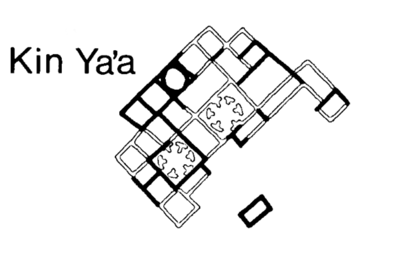
English: Kin Ya'a site map |
| Date | |
| Source | Archeological Surveys of Chaco Canyon, New Mexico. Publications in Archeology 18A, Chaco Canyon Studies. National Park Service, Washington, D.C.; by Hayes, Alden C., David M. Brugge, and W. James Judge; 1981, page 65. |
| Author | National Park Service |
Licensing
| This image or media file contains material based on a work of a National Park Service employee, created as part of that person's official duties. As a work of the U.S. federal government, such work is in the public domain in the United States. See the NPS website and NPS copyright policy for more information. |
File history
Click on a date/time to view the file as it appeared at that time.
| Date/Time | Thumbnail | Dimensions | User | Comment | |
|---|---|---|---|---|---|
| current | 16:37, 27 May 2015 | | 1,263 × 812 (188 KB) | imagescommonswiki>Rationalobserver | User created page with UploadWizard |
File usage
The following file is a duplicate of this file (more details):
- File:Kin Ya'a site map.png from Wikimedia Commons
The following page uses this file:

