File:Lake Michigan Triangle.png
From HandWiki
No higher resolution available.
Lake_Michigan_Triangle.png (370 × 370 pixels, file size: 163 KB, MIME type: image/png)
Summary
| Description |
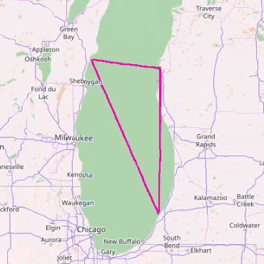
English: A map of the Lake Michigan Triangle |
| Date | |
| Source | OpenStreetMap |
| Author | Silent-Rains |
Licensing
| This work contains information from OpenStreetMap, which is made available under the Open Database License (ODbL).
The ODbL does not require any particular license for maps produced from ODbL data. Prior to 1 August 2020, map tiles produced by the OpenStreetMap Foundation were licensed under the CC-BY-SA-2.0 license. Maps produced by other people may be subject to other licences. |
File history
Click on a date/time to view the file as it appeared at that time.
| Date/Time | Thumbnail | Dimensions | User | Comment | |
|---|---|---|---|---|---|
| current | 17:01, 14 January 2023 | | 370 × 370 (163 KB) | imagescommonswiki>Silent-Rains | General adjustments |
File usage
The following file is a duplicate of this file (more details):
- File:Lake Michigan Triangle.png from Wikimedia Commons
The following page uses this file:

