File:Los Pinos Formation.jpg
From HandWiki
Size of this preview: 800 × 600 pixels. Other resolutions: 640 × 480 pixels | 4,000 × 3,000 pixels.
Original file (4,000 × 3,000 pixels, file size: 2.85 MB, MIME type: image/jpeg)
Summary
| Description |
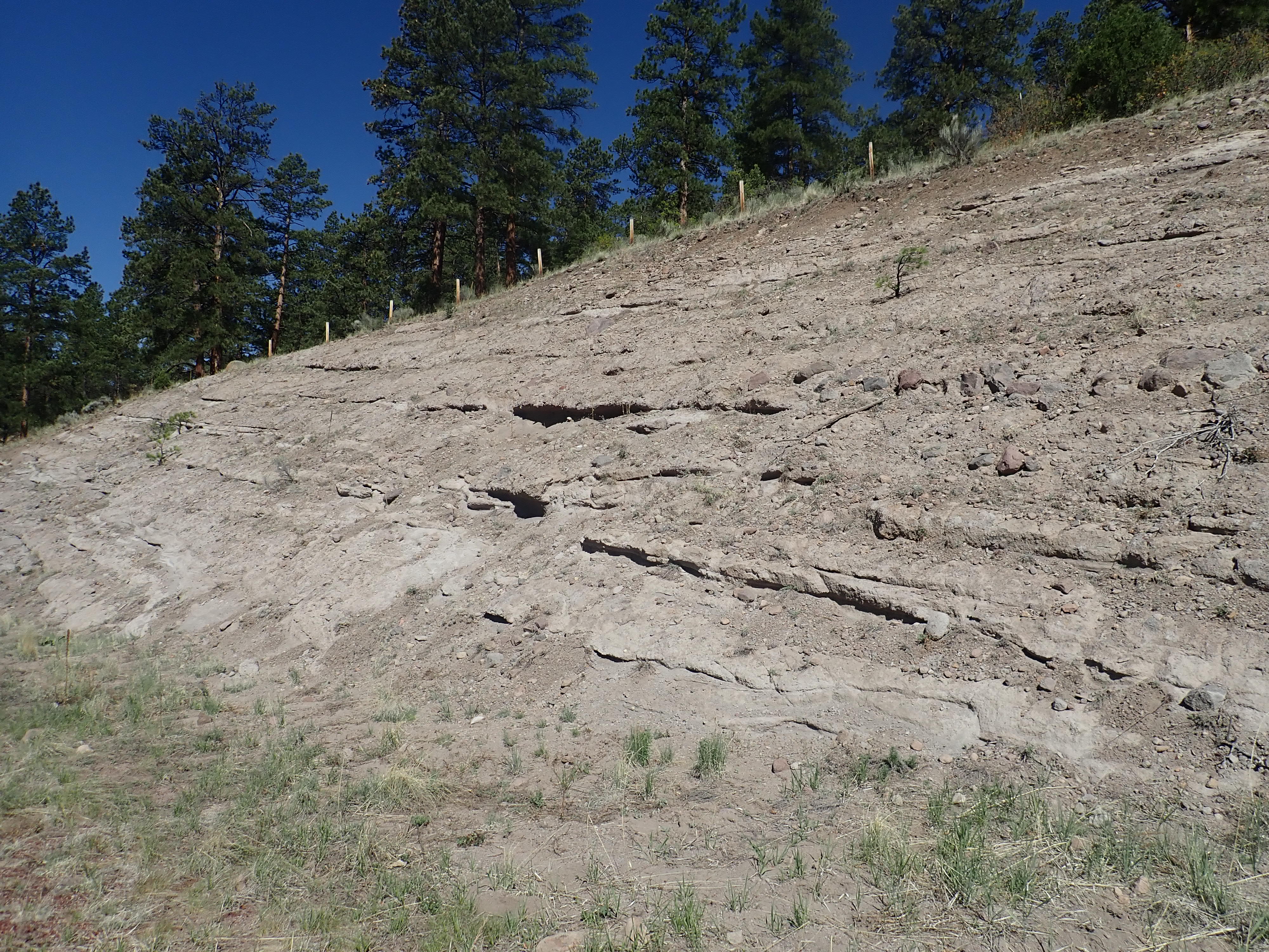
English: This image shows a road cut exposing beds of the Los Pinos Formation. This is a late Oligocene to late Miocene formation composed of sediments eroded off the San Juan Mountains and other nearby high terrain. Tusas Mountains, New Mexico, USA. |
| Date | |
| Source | Own work |
| Author | Kent G. Budge |
| Camera location | | View this and other nearby images on: OpenStreetMap |
|---|
Licensing
I, the copyright holder of this work, hereby publish it under the following license:
| This file is made available under the Creative Commons CC0 1.0 Universal Public Domain Dedication. | |
| The person who associated a work with this deed has dedicated the work to the public domain by waiving all of their rights to the work worldwide under copyright law, including all related and neighboring rights, to the extent allowed by law. You can copy, modify, distribute and perform the work, even for commercial purposes, all without asking permission.
|
File history
Click on a date/time to view the file as it appeared at that time.
| Date/Time | Thumbnail | Dimensions | User | Comment | |
|---|---|---|---|---|---|
| current | 14:11, 28 June 2020 | | 4,000 × 3,000 (2.85 MB) | imagescommonswiki>Kent G. Budge | Uploaded own work with UploadWizard |
File usage
The following file is a duplicate of this file (more details):
- File:Los Pinos Formation.jpg from Wikimedia Commons
The following page uses this file:

