File:Map of Western Area, Cairo (En).jpg
From HandWiki
Size of this preview: 800 × 566 pixels. Other resolutions: 640 × 453 pixels | 1,130 × 800 pixels.
Original file (1,130 × 800 pixels, file size: 96 KB, MIME type: image/jpeg)
Summary
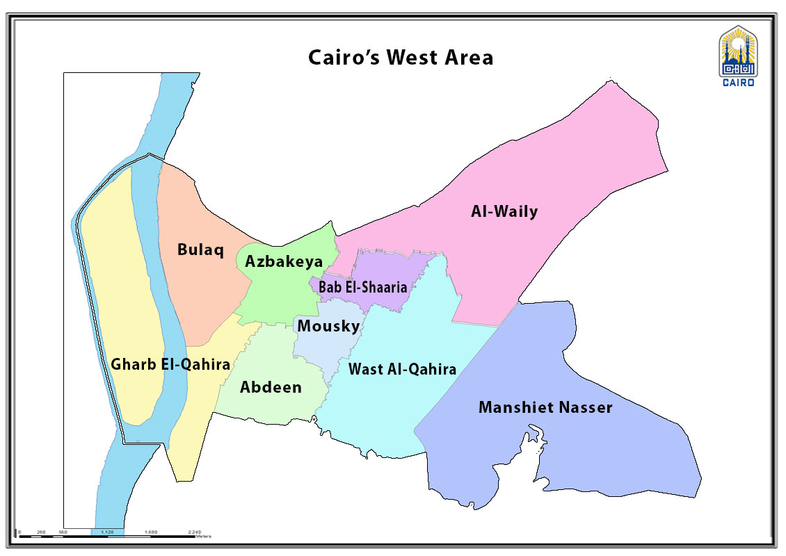
| Description |
English: Administrative district divisions and city boundary |
| Date | |
| Source | http://www.cairo.gov.eg/en/Maps/Pages/cairo-areas.aspx |
| Author | Cairo Governorate GIS Unit |
Licensing
| This work is not an object of copyright in Egypt because it is an official document. Regardless of their source or target language, all official documents are ineligible for protection in Egypt, including laws, regulations, resolutions and decisions, international conventions, court decisions, award of arbitrators and decisions of administrative committees having judicial competence. (Article 141 of Intellectual Property Law 82 of 2002) | 
|
File history
Click on a date/time to view the file as it appeared at that time.
| Date/Time | Thumbnail | Dimensions | User | Comment | |
|---|---|---|---|---|---|
| current | 15:09, 23 February 2023 | | 1,130 × 800 (96 KB) | imagescommonswiki>Ypedia1 | Uploaded a work by Cairo Governorate GIS Unit from http://www.cairo.gov.eg/en/Maps/Pages/cairo-areas.aspx with UploadWizard |
File usage
The following file is a duplicate of this file (more details):
- File:Map of Western Area, Cairo (En).jpg from Wikimedia Commons
The following page uses this file:


.jpg)
.jpg&action=edit&redlink=1)
.jpg)
.jpg&action=mzwi)
.jpg)
.jpg)
.jpg)
.jpg&action=info)