File:Mapa del Virreinato de Santa Fe.jpg
From HandWiki
No higher resolution available.
Mapa_del_Virreinato_de_Santa_Fe.jpg (746 × 550 pixels, file size: 235 KB, MIME type: image/jpeg)
Summary
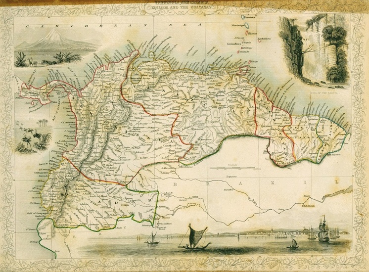
| Description | Virreinato de Santa Fé (Nueva Granada), 1775 |
| Date | |
| Source |
Instituto Geográfico de Venezuela Simón Bolívar http://www.lablaa.org/blaavirtual/revistas/credencial/enero1992/enero1.htm |
| Author | Francisco Antonio Moreno y Escandón |
Licensing
|
This work is in the public domain in its country of origin and other countries and areas where the copyright term is the author's life plus 100 years or fewer. | |
| This file has been identified as being free of known restrictions under copyright law, including all related and neighboring rights. | |
File history
Click on a date/time to view the file as it appeared at that time.
| Date/Time | Thumbnail | Dimensions | User | Comment | |
|---|---|---|---|---|---|
| current | 02:06, 21 March 2009 | | 746 × 550 (235 KB) | imagescommonswiki>Milenioscuro | contraste de colores |
File usage
The following file is a duplicate of this file (more details):
- File:Mapa del Virreinato de Santa Fe.jpg from Wikimedia Commons
The following page uses this file:

