File:MappaBritanniaeFacie4.png
From HandWiki

Size of this preview: 497 × 600 pixels. Other resolutions: 398 × 480 pixels | 1,400 × 1,690 pixels.
Original file (1,400 × 1,690 pixels, file size: 4.25 MB, MIME type: image/png)
Summary
| Description |
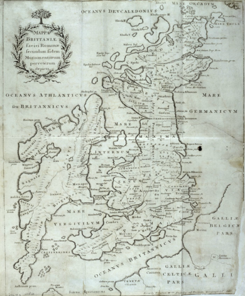
English: A color map (440×365 mm) from William Stukeley's extracts from Charles Bertram's forged account The Description of Britain (Latin: De Situ Britanniae).
→→→A historical forgery and not to be used as an accurate map.←←← Text: Ricardi Tabulam Wm Stukeley ab Norman Geographica de[...?] |
| Date | |
| Source | William Stukeley's An Account of Richard of Cirencester, Monk of Westminster, and of his Works: with his Antient Map of Roman Brittain; and the Itinerary thereof (London: 1757). |
| Author | John Pettingal |
| Other versions |
|

Licensing
|
This work is in the public domain in its country of origin and other countries and areas where the copyright term is the author's life plus 100 years or fewer. This work is in the public domain in the United States because it was published (or registered with the U.S. Copyright Office) before January 1, 1929. | |
| This file has been identified as being free of known restrictions under copyright law, including all related and neighboring rights. | |
File history
Click on a date/time to view the file as it appeared at that time.
| Date/Time | Thumbnail | Dimensions | User | Comment | |
|---|---|---|---|---|---|
| current | 16:12, 5 March 2015 | | 1,400 × 1,690 (4.25 MB) | imagescommonswiki>LlywelynII | User created page with UploadWizard |
File usage
The following file is a duplicate of this file (more details):
- File:MappaBritanniaeFacie4.png from Wikimedia Commons
The following page uses this file:

