File:Palestine location map wide.png
From HandWiki
Size of this preview: 322 × 598 pixels. Other resolution: 614 × 1,141 pixels.
Original file (614 × 1,141 pixels, file size: 103 KB, MIME type: image/png)
Summary
| Description |
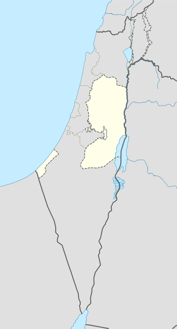
English: West Bank area with wider view for better perspective. longitude 33.7 to 36.3 and latitude 33.5 to 29.3. Change in fill colour only. |
| Source | File:Israel location map.svg |
| Author | NordNordWest |
Licensing
This file is licensed under the Creative Commons Attribution-Share Alike 3.0 Unported license.
- You are free:
- to share – to copy, distribute and transmit the work
- to remix – to adapt the work
- Under the following conditions:
- attribution – You must give appropriate credit, provide a link to the license, and indicate if changes were made. You may do so in any reasonable manner, but not in any way that suggests the licensor endorses you or your use.
- share alike – If you remix, transform, or build upon the material, you must distribute your contributions under the same or compatible license as the original.
File history
Click on a date/time to view the file as it appeared at that time.
| Date/Time | Thumbnail | Dimensions | User | Comment | |
|---|---|---|---|---|---|
| current | 03:33, 16 July 2014 | | 614 × 1,141 (103 KB) | imagescommonswiki>Enoough kept | {{Information |Description ={{en|1=Palestine area with wider area for better perspective. longitude 33.7 to 36.3 and latitude 33.5 to 29.3. Change in fill colour only.}} |Source =File:Israel location map.svg |Author =NordNordWest |Da... |
File usage
The following file is a duplicate of this file (more details):
- File:Palestine location map wide.png from Wikimedia Commons
The following 9 pages use this file:

