File:Peru sat.png
From HandWiki
Size of this preview: 742 × 599 pixels. Other resolutions: 594 × 480 pixels | 2,600 × 2,100 pixels.
Original file (2,600 × 2,100 pixels, file size: 11.25 MB, MIME type: image/png)
Summary
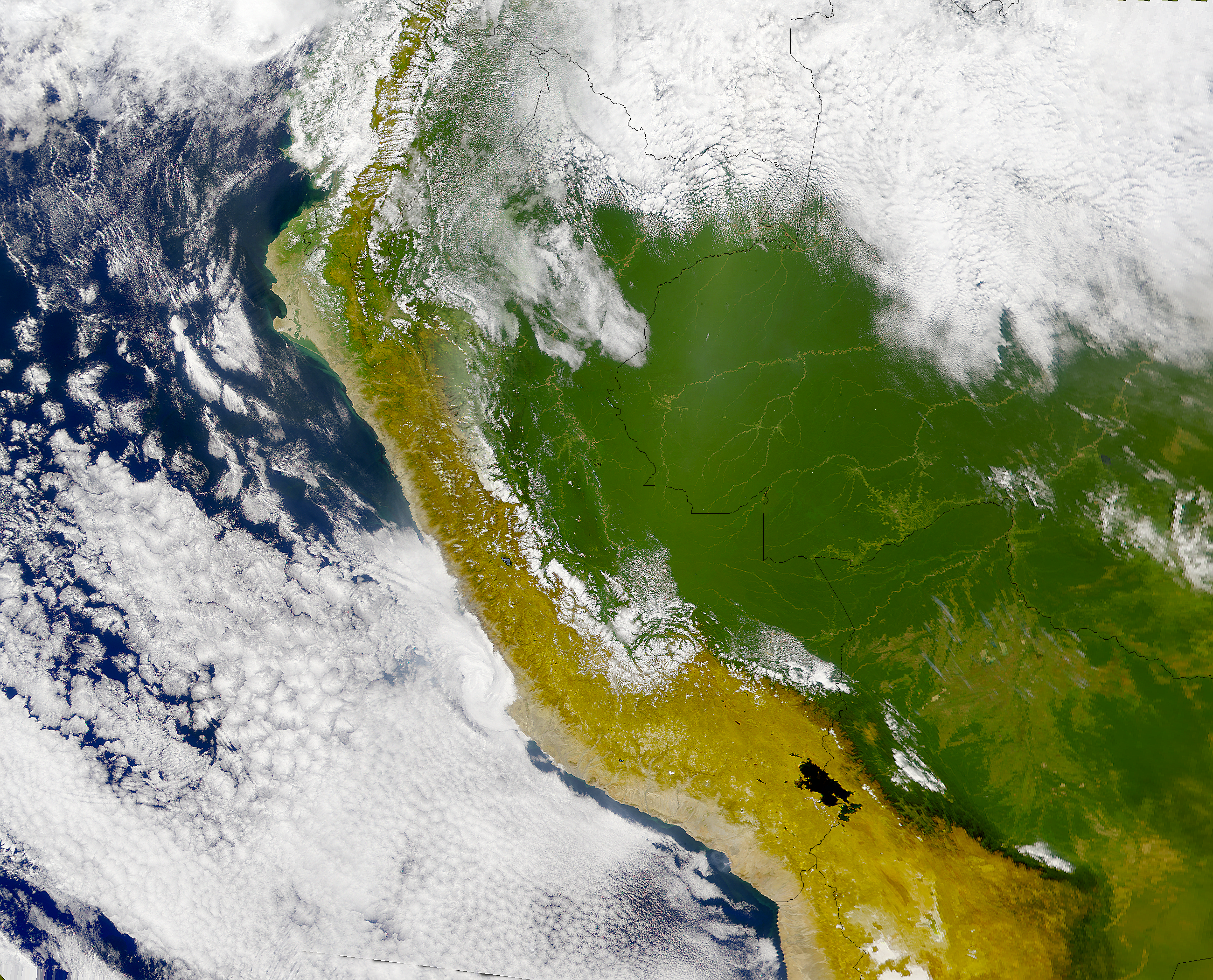
Runa Simi: Piruwta satélite tikti.
Español: Imagen satelital del Perú.
English: Satellite image of Perú.
Licensing
| This file is in the public domain in the United States because it was solely created by NASA. NASA copyright policy states that "NASA material is not protected by copyright unless noted". (See Template:PD-USGov, NASA copyright policy page or JPL Image Use Policy.) | ||
 |
Warnings:
|
derivative works
Derivative works of this file: Piura satelital.png
File history
Click on a date/time to view the file as it appeared at that time.
| Date/Time | Thumbnail | Dimensions | User | Comment | |
|---|---|---|---|---|---|
| current | 16:11, 23 April 2005 | | 2,600 × 2,100 (11.25 MB) | imagescommonswiki>Huhsunqu | *Piruwta ''satélite'' imaxin. *Imagen satelital del Perú. *Satellite image of Perú. {{PD-USGov-NASA}} Category:Maps of Peru Category:Satellite images |
File usage
The following file is a duplicate of this file (more details):
- File:Peru sat.png from Wikimedia Commons
The following page uses this file:

