File:SD-CountyMap.jpg
From HandWiki
Size of this preview: 800 × 490 pixels. Other resolutions: 640 × 392 pixels | 847 × 519 pixels.
Original file (847 × 519 pixels, file size: 61 KB, MIME type: image/jpeg)
Summary
| Description |
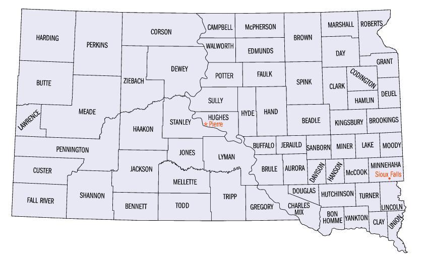
English: Map of South Dakota counties. |
| Source | https://web.archive.org/web/20050204100123/http://www.fedstats.gov/qf/maps/south_dakota_map.html |
| Author | United States Census Bureau |


Licensing
This image or file is a work of a United States Census Bureau employee, taken or made as part of that person's official duties. As a work of the U.S. federal government, the image is in the public domain.
|
 |
File history
Click on a date/time to view the file as it appeared at that time.
| Date/Time | Thumbnail | Dimensions | User | Comment | |
|---|---|---|---|---|---|
| current | 16:07, 13 October 2006 | | 847 × 519 (61 KB) | imagescommonswiki>JosN | Map of South Dakota counties. |
File usage
The following file is a duplicate of this file (more details):
- File:SD-CountyMap.jpg from Wikimedia Commons
The following page uses this file:

