File:SouthEast Europe 1878.jpg
From HandWiki

Size of this preview: 800 × 563 pixels. Other resolutions: 640 × 450 pixels | 1,739 × 1,224 pixels.
Original file (1,739 × 1,224 pixels, file size: 2.14 MB, MIME type: image/jpeg)
Summary
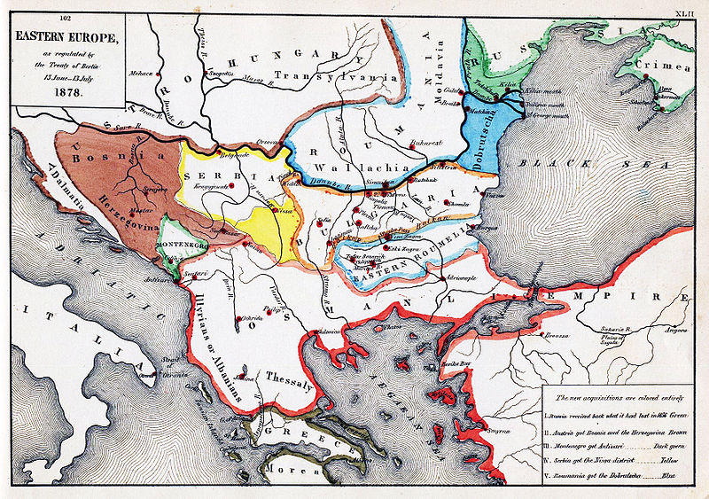
| Description | Map of South-Eastern Europe after the Congress of Berlin, 1878 |
| Date | |
| Source | Map from "An Historical Atlas" by Robert H. Labberton, E. Elaxton and Co., 1884. |
| Author | Robert H. Labberton, E. Elaxton and Co. |
| Permission (Reusing this file) |
PD-old |
Licensing
This media file is in the public domain in the United States. This applies to U.S. works where the copyright has expired, often because its first publication occurred prior to January 1, 1929, and if not then due to lack of notice or renewal. See this page for further explanation.
|
 | |
 |
File history
Click on a date/time to view the file as it appeared at that time.
| Date/Time | Thumbnail | Dimensions | User | Comment | |
|---|---|---|---|---|---|
| current | 10:35, 11 May 2010 | | 1,739 × 1,224 (2.14 MB) | imagescommonswiki>PRODUCER | improve color |
File usage
The following file is a duplicate of this file (more details):
- File:SouthEast Europe 1878.jpg from Wikimedia Commons
The following page uses this file:

