File:South Africa-NLT Landsat7.png
From HandWiki

Size of this preview: 800 × 567 pixels. Other resolutions: 640 × 453 pixels | 1,022 × 724 pixels.
Original file (1,022 × 724 pixels, file size: 1.07 MB, MIME type: image/png)
Summary
| Description |
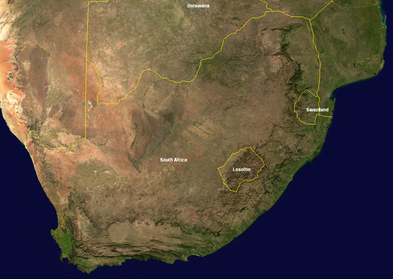
English: World Wind screenshot of South Africa with country boarders of Eswatini and Lesotho names in. |
| Date | |
| Source | Cropped from: http://visibleearth.nasa.gov/view_rec.php?id=4265 |
| Author | Jacques Descloitres, MODIS Rapid Response Team,NASA/GSFC |
Licensing
| This image is in the public domain because it is a screenshot from NASA’s globe software World Wind using a public domain layer, such as Blue Marble, MODIS, Landsat, SRTM, USGS or GLOBE.
|
 |
File history
Click on a date/time to view the file as it appeared at that time.
| Date/Time | Thumbnail | Dimensions | User | Comment | |
|---|---|---|---|---|---|
| current | 09:30, 3 July 2005 | | 1,022 × 724 (1.07 MB) | imagescommonswiki>Jon Harald Søby | World Wind screenshot of South Africa with country boarders and names in. {{PD-WorldWind}} Category:South Africa |
File usage
The following file is a duplicate of this file (more details):
- File:South Africa-NLT Landsat7.png from Wikimedia Commons
The following 2 pages use this file:

