File:Switzerland topographic.png
From HandWiki
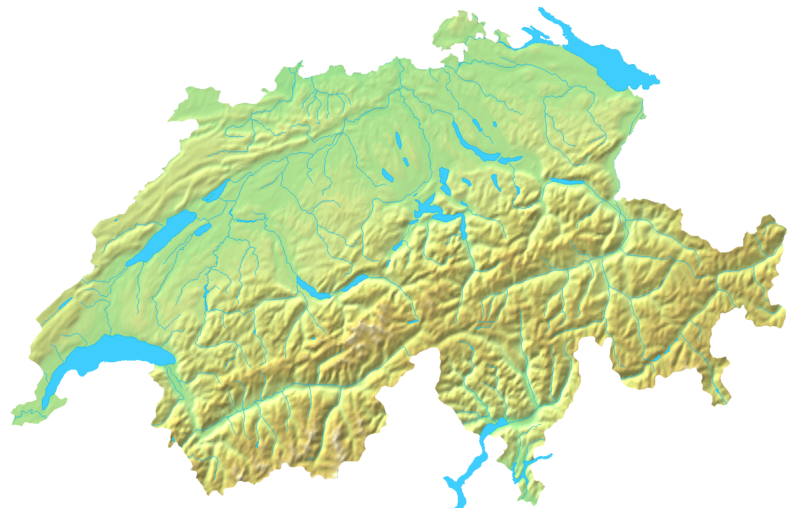
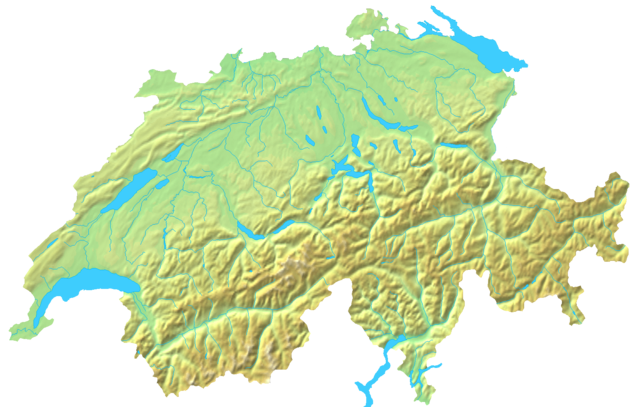
Size of this preview: 800 × 508 pixels. Other resolutions: 640 × 407 pixels | 1,508 × 958 pixels.
Original file (1,508 × 958 pixels, file size: 1.74 MB, MIME type: image/png)
Summary
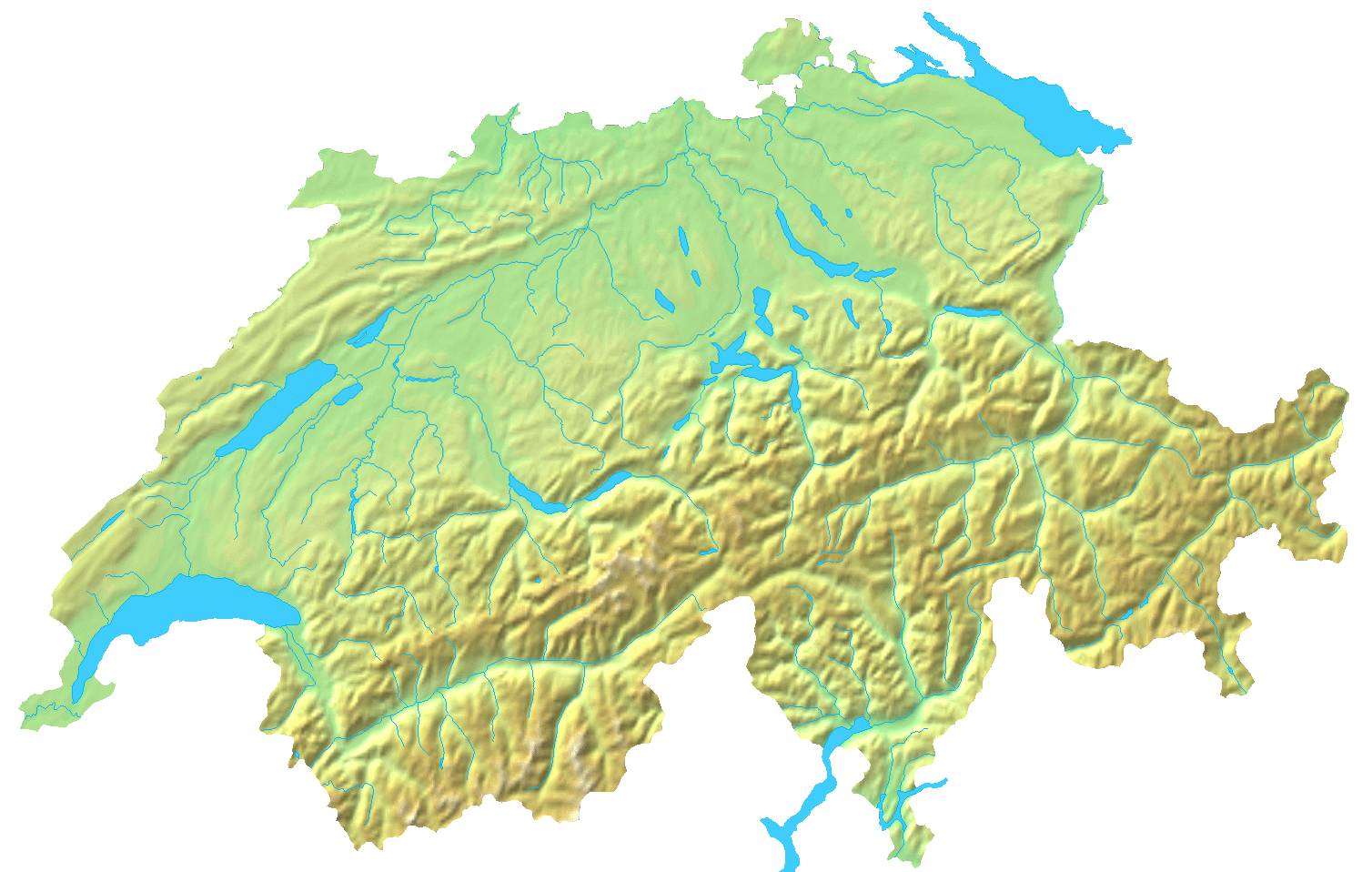
| Description | Blanc topographic Map of Switzerland / Relief-Karte der Schweiz (blanko) |
| Date | |
| Source | Map created from DEMIS Mapserver, which are public domain. |
| Author | User:Numerus Klausus / de:Benutzer:Lirum Larum |
| Other versions | Derivative works of this file: Topographic map of Battle of Winterthur 1799.png |
Licensing
| I, the copyright holder of this work, release this work into the public domain. This applies worldwide. In some countries this may not be legally possible; if so: I grant anyone the right to use this work for any purpose, without any conditions, unless such conditions are required by law. |
File history
Click on a date/time to view the file as it appeared at that time.
| Date/Time | Thumbnail | Dimensions | User | Comment | |
|---|---|---|---|---|---|
| current | 14:05, 16 April 2007 | | 1,508 × 958 (1.74 MB) | imagescommonswiki>Numerus Klausus | {{Information |Description=Blanc topographic Map of Switzerland / Relief-Karte der Schweiz (blanko) |Source= Map created from [http://www2.demis.nl/mapserver/mapper.asp DEMIS Mapserver], which are public domain. |Date= 2007 |Author= [[User:Numerus Klausus |
File usage
The following file is a duplicate of this file (more details):
- File:Switzerland topographic.png from Wikimedia Commons
The following page uses this file:

