File:View from Top of Tengwangge (Prince of Teng Pavilion) (31445668861).jpg
From HandWiki

Size of this preview: 800 × 533 pixels. Other resolutions: 640 × 427 pixels | 5,184 × 3,456 pixels.
Original file (5,184 × 3,456 pixels, file size: 2.82 MB, MIME type: image/jpeg)
Summary
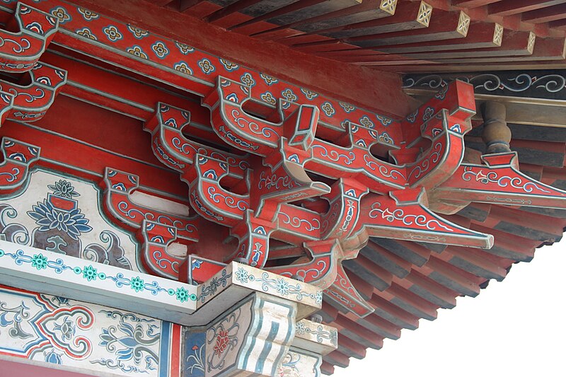
| Description | Nanchang, Jiangxi, China. Complete indexed photo collection at WorldHistoryPics.com. |
| Date | |
| Source | View from Top of Tengwangge (Prince of Teng Pavilion) |
| Author | Gary Todd from Xinzheng, China |
| Camera location | | View this and other nearby images on: OpenStreetMap |
|---|
Licensing
| This file is made available under the Creative Commons CC0 1.0 Universal Public Domain Dedication. | |
| The person who associated a work with this deed has dedicated the work to the public domain by waiving all of their rights to the work worldwide under copyright law, including all related and neighboring rights, to the extent allowed by law. You can copy, modify, distribute and perform the work, even for commercial purposes, all without asking permission.
|
| This image was originally posted to Flickr by Gary Lee Todd, Ph.D. at https://flickr.com/photos/101561334@N08/31445668861. It was reviewed on 7 October 2020 by FlickreviewR 2 and was confirmed to be licensed under the terms of the cc-zero. |
File history
Click on a date/time to view the file as it appeared at that time.
| Date/Time | Thumbnail | Dimensions | User | Comment | |
|---|---|---|---|---|---|
| current | 17:08, 7 October 2020 | | 5,184 × 3,456 (2.82 MB) | imagescommonswiki>Donald Trung | Transferred from Flickr via #flickr2commons |
File usage
The following file is a duplicate of this file (more details):
- File:View from Top of Tengwangge (Prince of Teng Pavilion) (31445668861).jpg from Wikimedia Commons
The following page uses this file:


_(31445668861).jpg)
_(31445668861).jpg&action=edit&redlink=1)
_(31445668861).jpg)
_(31445668861).jpg&action=mzwi)
_(31445668861).jpg¶ms=028.684131_N_0115.875635_E_globe:Earth_type:camera_source:Flickr_&language=en)
_(31445668861).jpg)
_(31445668861).jpg)
_(31445668861).jpg)
_(31445668861).jpg&action=info)