File:Western Sahara sat.png
From HandWiki
Size of this preview: 733 × 599 pixels. Other resolutions: 587 × 480 pixels | 1,014 × 829 pixels.
Original file (1,014 × 829 pixels, file size: 630 KB, MIME type: image/png)
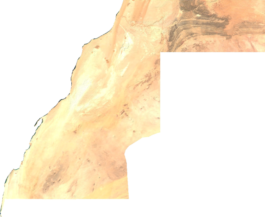
English: Satellite overview of Western moroccan Sahara
ECW to TIFF to PNG (compression level 9).
| This file is in the public domain, because it was generated by a user, using free sources available at The Map Library.
Note that this does not include the maps in the Global Administrative Areas section of the homepage. |
File history
Click on a date/time to view the file as it appeared at that time.
| Date/Time | Thumbnail | Dimensions | User | Comment | |
|---|---|---|---|---|---|
| current | 03:03, 3 March 2022 | | 1,014 × 829 (630 KB) | imagescommonswiki>Koavf | c:User:Rillke/bigChunkedUpload.js: opaque |
File usage
The following file is a duplicate of this file (more details):
- File:Western Sahara sat.png from Wikimedia Commons
The following page uses this file:

