File:WholeRegionSevres.gif
From HandWiki
Size of this preview: 800 × 519 pixels. Other resolutions: 640 × 415 pixels | 4,553 × 2,953 pixels.
Original file (4,553 × 2,953 pixels, file size: 260 KB, MIME type: image/gif)
Summary
| Description |
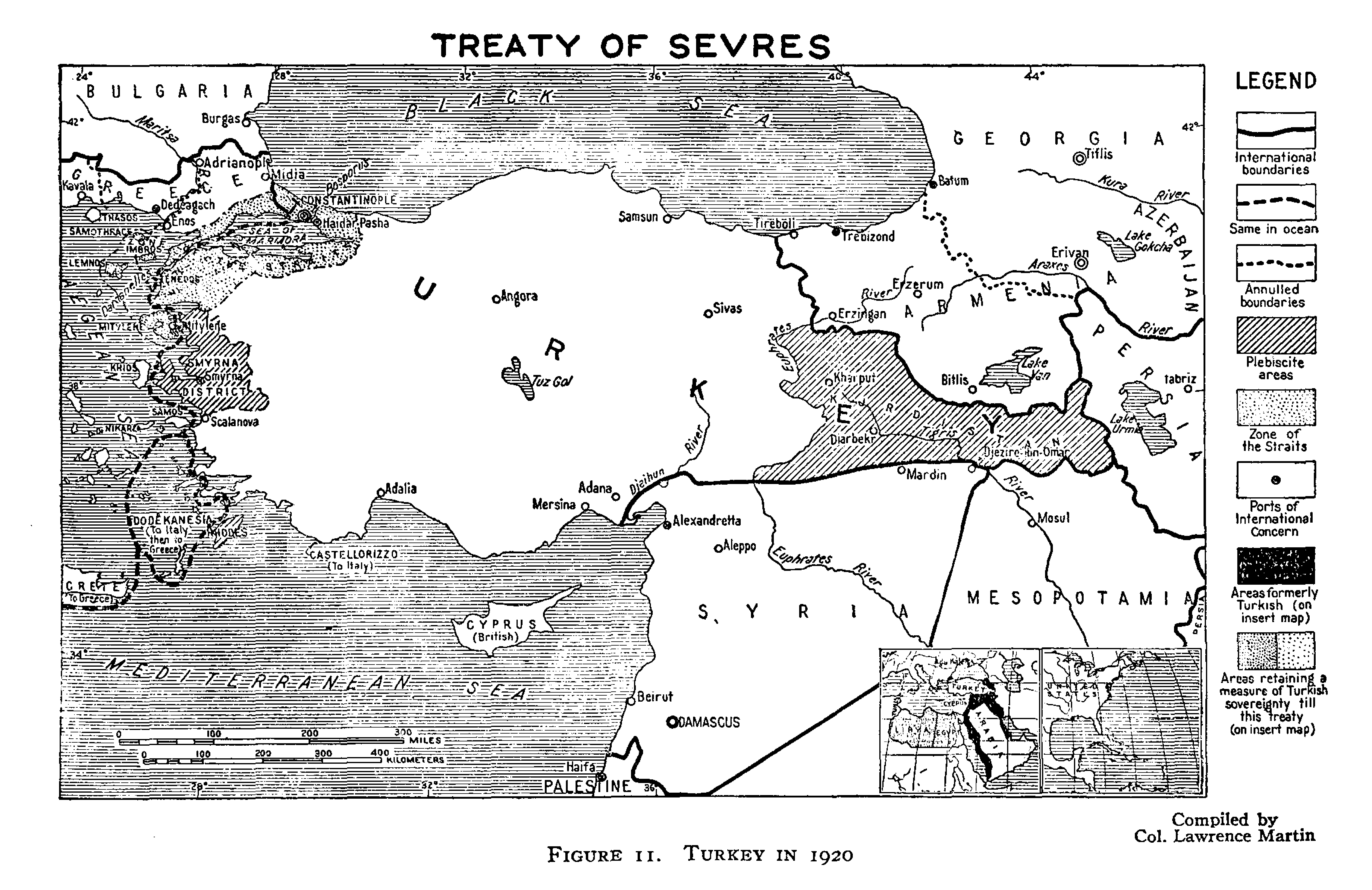
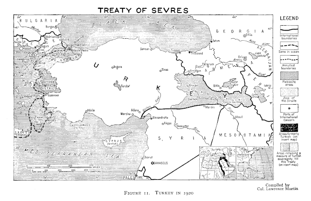
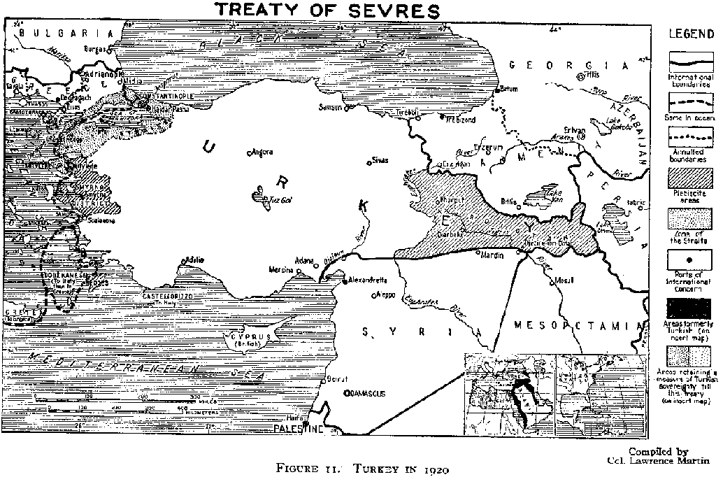
English: An original map from 1920 illustrating the Treaty of Sevres region. |
| Date | |
| Source | http://www.gwpda.org/gifs/turk1920.gif |
| Author | Lt. Colonel Lawrence Martin. Geographer of the Institute of Politics at Williamstown, MA, 1921-27 |
Licensing
This media file is in the public domain in the United States. This applies to U.S. works where the copyright has expired, often because its first publication occurred prior to January 1, 1929, and if not then due to lack of notice or renewal. See this page for further explanation.
|
 | |
 |
This image might not be in the public domain outside of the United States; this especially applies in the countries and areas that do not apply the rule of the shorter term for US works, such as Canada, Mainland China (not Hong Kong or Macao), Germany, Mexico, and Switzerland. The creator and year of publication are essential information and must be provided. See Wikipedia:Public domain and Wikipedia:Copyrights for more details.
|
File history
Click on a date/time to view the file as it appeared at that time.
| Date/Time | Thumbnail | Dimensions | User | Comment | |
|---|---|---|---|---|---|
| current | 02:23, 30 June 2021 | | 4,553 × 2,953 (260 KB) | imagescommonswiki>Zero0000 | minor adjustments |
File usage
The following file is a duplicate of this file (more details):
- File:WholeRegionSevres.gif from Wikimedia Commons
The following page uses this file:

