| Display title | File:Map of the provinces of South Africa 1910-1976 with the Cape highlighted.svg |
| Default sort key | Map of the provinces of South Africa 1910-1976 with the Cape highlighted.svg |
| Page length (in bytes) | 81 |
| Namespace | File |
| Page ID | 2155645 |
| Page content language | en - English |
| Page content model | wikitext |
| Indexing by robots | Allowed |
| Number of redirects to this page | 0 |
| Hash value | 0379d10188837ff94c00d7cd928cdb1a73e57658 |
| Page image | 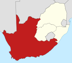 |
| HandWiki item ID | None |
| Edit | Allow all users (infinite) |
| Move | Allow all users (infinite) |
| Upload | Allow all users (infinite) |
| Page creator | Maintenance script (talk | contribs) |
| Date of page creation | 19:22, 9 March 2023 |
| Latest editor | Maintenance script (talk | contribs) |
| Date of latest edit | 19:22, 9 March 2023 |
| Total number of edits | 1 |
| Recent number of edits (within past 60 days) | 0 |
| Recent number of distinct authors | 0 |
| Transcluded template (1) | Template used on this page:
|


