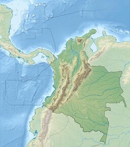
Earth:Petacas
From HandWiki
Revision as of 21:59, 14 July 2022 by imported>NBrush (correction)
| Petacas | |
|---|---|
| Cerro de las Petacas | |
| Highest point | |
| Elevation | 4,054 m (13,301 ft) |
| Listing | Volcanoes of Colombia |
| Coordinates | [ ⚑ ] : 1°34′01″N 76°51′25″W / 1.56694°N 76.85694°W |
| Geography | |
| Location | Cauca & Nariño |
| Parent range | Central Ranges, Andes |
| Geology | |
| Mountain type | Lava dome |
| Volcanic belt | North Volcanic Zone Andean Volcanic Belt |
| Last eruption | unknown |
Petacas is a lava dome in the departments of Cauca and Nariño, Colombia.[1]
Doña Juana volcano lies nearby.[1] Both volcanoes are located between the El Tablón Fault to the west and the San Jerónimo Fault to the east.[2]
See also
- List of volcanoes in Colombia
- List of volcanoes by elevation
References
- ↑ 1.0 1.1 "Petacas". Smithsonian Institution. https://volcano.si.edu/volcano.cfm?vn=351062.
- ↑ Plancha 411, 2002
Bibliography
- Núñez, Alberto, and Jorge Gómez. 2002. Plancha 411 - La Cruz - 1:100,000, 1. INGEOMINAS. Accessed 2017-06-06.


