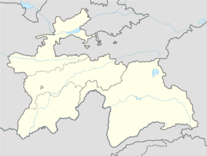
Place:Jilikul
Jilikul | |
|---|---|
| Coordinates: [ ⚑ ] 37°29′34″N 68°31′43″E / 37.49278°N 68.52861°E | |
| Country | |
| Province | Khatlon Province |
| Elevation | 354 m (1,161 ft) |
| Time zone | UTC+5 |
Jilikul is the capital of the Jilikul District of the Khatlon Province, Tajikistan. It is located in the southwestern portion of Tajikistan approximately 117km (73 miles) from Dushanbe.
Geography
Climate
Jilikul has a cold semi-arid climate (Köppen climate classification BSk). The average annual temperature is 17.2°C (63°F). The warmest month is July with an average temperature of 29.9°C (85.8°F) and the coolest month is January with an average temperature of 3.2°C (37.8°F). The average annual precipitation is 264.2mm (10.4") and has an average of 66 days with precipitation. The wettest month is March with an average of 64.6mm (2.5") of precipitation and the driest month is August with an average of 0mm of precipitation.[1]
Script error: No such module "weather box".
References
- ↑ 1.0 1.1 "Climate of Jilikul". http://www.weatherbase.com/weather/weather.php3?s=605169&cityname=Jilikul-Tajikistan. Retrieved 4 August 2014.
[ ⚑ ] 37°29′34″N 68°31′43″E / 37.49278°N 68.52861°E


