Earth:Mount Mann
From HandWiki
Revision as of 22:16, 11 November 2021 by imported>Nautica (over-write)
| Mount Mann | |
|---|---|
| Highest point | |
| Elevation | 1,680 m (5,510 ft) |
| Coordinates | [ ⚑ ] : 83°12′S 49°20′W / 83.2°S 49.333°W |
| Geography | |
| Location | |
| Parent range | Forrestal Range |
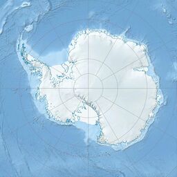
Mount Mann is a mountain, 1,680 metres (5,500 ft) high, standing on the southeast edge of Lexington Table, 4 nautical miles (7 km) south of Mount Zirzow, in the Forrestal Range, Pensacola Mountains, Antarctica. It was mapped by the United States Geological Survey from surveys and U.S. Navy air photos from 1956 to 1966, and was named by the Advisory Committee on Antarctic Names for Captain Edward K. Mann of the United States Air Force , who was an assistant in the Research Division of the U.S. Naval Support Force, Antarctica between 1966 and 1968.[1]
References
![]() This article incorporates public domain material from the United States Geological Survey document "Mount Mann" (content from the Geographic Names Information System).
This article incorporates public domain material from the United States Geological Survey document "Mount Mann" (content from the Geographic Names Information System).
 |


