Earth:Mount Keigetsu
From HandWiki
Revision as of 07:38, 5 October 2021 by imported>Steve Marsio (over-write)
Short description: Lava dome on the island of Hokkaido, Japan
| Mount Keigetsu | |
|---|---|
| 桂月岳 | |
Hokkaidō, Japan | |
| Highest point | |
| Elevation | 1,938 m (6,358 ft) |
| Prominence | 68 m (223 ft) |
| Parent peak | Mount Kuro |
| Listing | List of mountains and hills of Japan by height |
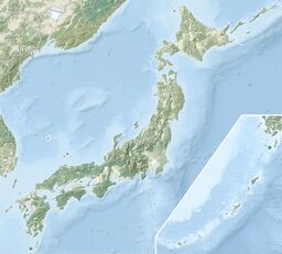
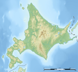
| Coordinates | [ ⚑ ] : 43°41′53″N 142°54′38″E / 43.69806°N 142.91056°E |
| Naming | |
| Language of name | Japanese |
| Geography | |
| Location | Hokkaidō, Japan |
| Parent range | Daisetsuzan Volcanic Group |
| Topo map | Geographical Survey Institute 25000:1 層雲峡 50000:1 大雪山 |
| Geology | |
| Mountain type | lava dome |
| Volcanic arc/belt | Kurile arc |
Mount Keigetsu (桂月岳 Keigetsu-dake) is located in the Daisetsuzan Volcanic Group of the Ishikari Mountains, Hokkaidō, Japan .
It sits within Daisetsuzan National Park and overlooks the town of Sounkyo.[1]
See also
- List of volcanoes in Japan
- List of mountains in Japan
References
- ↑ "Keigetsu-dake Overnight Hiking" (in en-US). 2020-04-29. https://hokkaidowilds.org/hiking/keigetsu-dake-overnight-hiking.
 |


