Place:Bouarfa, Morocco
From HandWiki
Bouarfa<amazigh/> بوعرفة ⴱⵓⵄⴰⵔⴼⴰ Bou 'rfa | |
|---|---|
City | |
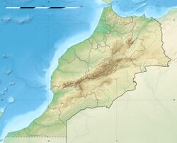
| Coordinates: [ ⚑ ] 32°31′8″N 1°58′39″W / 32.51889°N 1.9775°W | |
| Country | Morocco |
| Region | Oriental |
| Province | Figuig |
| Elevation | 1,174 m (3,854 ft) |
| Population (2014)[1] | |
| • Total | 28,846 |
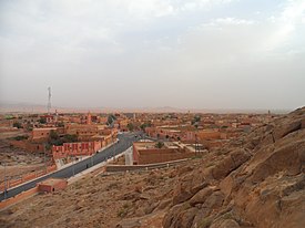
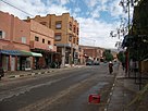
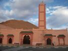
Bouarfa (Arabic: بوعرفة, Berber ⴱⵓⵄⴰⵔⴼⴰ) is a city in Oriental Region, northeastern Morocco and the capital of Figuig Province. According to the 2004 census, it had a population of 24,527.
Climate
Script error: No such module "weather box".
References
- ↑ "POPULATION LÉGALE DES RÉGIONS, PROVINCES, PRÉFECTURES, MUNICIPALITÉS, ARRONDISSEMENTS ET COMMUNES DU ROYAUME D’APRÈS LES RÉSULTATS DU RGPH 2014" (in ar, fr). High Commission for Planning, Morocco. 8 April 2015. http://rgph2014.hcp.ma/file/166326/. Retrieved 29 September 2017.
- ↑ "Bouarfa Climate Normals 1991–2020". World Meteorological Organization Climatological Standard Normals (1991–2020). National Oceanic and Atmospheric Administration. https://www.nodc.noaa.gov/archive/arc0216/0253808/1.1/data/0-data/Region-1-WMO-Normals-9120/Morocco/CSV/BOUARFA_60200.csv.
[ ⚑ ] 32°31′51″N 1°57′54″W / 32.530899°N 1.96496°W
 |


