Earth:Sharat Kovakab
From HandWiki
| Sharat Kovakab | |
|---|---|
| حبل كوكب | |
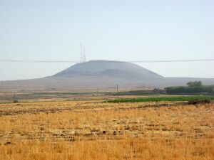
 Two basaltic cones in Sharat Kovakab volcanic field, near Al Hasakah, Syria. The second cone is located in the foreground, lower than the main cone. | |
| Highest point | |
| Elevation | 1,752 feet (534 m)[1] |
| Listing | Volcanoes of Syria |
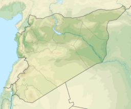
| Coordinates | [ ⚑ ] 36°32′N 40°51′E / 36.53°N 40.85°E |
| Geography | |
| Geology | |
| Age of rock | Holocene |
| Mountain type | Volcanic field |
| Last eruption | Unknown |
| Climbing | |
| Easiest route | a small road ascending to the peak[2] |
Sharat Kovakab (Arabic: حبل كوكب) is a volcano in Syria.
References
 |


