Place:Vaglaskógur
From HandWiki
Revision as of 10:11, 28 July 2022 by imported>Scavis2 (linkage)
Short description: Forest in Iceland
| Vaglaskógur | |
|---|---|
 | |
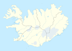
| Location | Fnjóskadalur, Iceland |
| Coordinates | [ ⚑ ] : 65°43′00″N 17°53′00″W / 65.7167°N 17.8833°W |
| Area | 300 ha (740 acres) |
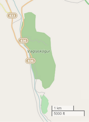
Vaglaskógur (Icelandic pronunciation: [ˈvaklaˌskouː(ɣ)ʏr̥]) is a 300-hectare forest in Fnjóskadalur, Iceland. It is the second largest forest area in the country. This area contains many birch trees and is a visitor attraction.[1][2]
Gallery
References
External links
 |


