Earth:Flat (landform)
From HandWiki
Short description: Relatively level surface of land within a region of greater relief

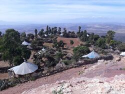
A flat is a relatively level surface of land within a region of greater relief, such as hills or mountains, usually used in the plural.[1][2][3][4] The term is often used to name places with such features, for example, Yucca Flat or Henninger Flats.
Flat is also used to describe other level geographic areas as mud flats or salt flats.
See also
- Earth:Dry lake – Basin or depression that formerly contained a standing surface water body
References
- ↑ "GNIS Feature Class Definitions: Flat". USGS. https://geonames.usgs.gov/apex/f?p=138:8. Retrieved 4 Jan 2017. "Relative level area within a region of greater relief (clearing, glade, playa)."
- ↑ "flat". IAC Publishing. http://www.dictionary.com/browse/flat. Retrieved 4 Jan 2017. "flat or level ground; a flat area"
- ↑ "flat". Oxford University Press. https://en.oxforddictionaries.com/definition/flat. Retrieved 4 Jan 2017. "An area of low level ground, especially near water"
- ↑ "flat". Cambridge University Press. http://dictionary.cambridge.org/dictionary/english/flat. Retrieved 4 Jan 2017. "An area of low, level ground, often near water"
 |
