Earth:Long Island (Maryland)
From HandWiki
This article relies too much on references to primary sources. (June 2020) (Learn how and when to remove this template message) |
Short description: Former American island
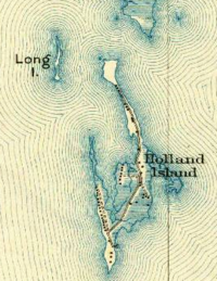
Long Island was an island located in Chesapeake Bay, northwest of another former island, Holland Island. The island was shown on maps up until near 1934,[1] when erosion of nearby islands combined with the rising sea levels caused it to be submerged.
References
This article needs additional or more specific categories. (June 2020) |


