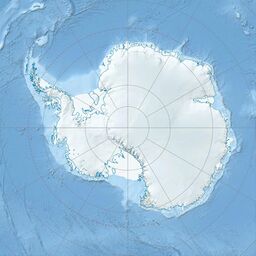
Earth:Melville Peak
| Melville Peak | |
|---|---|
King George Island, Antarctica | |
| Highest point | |
| Elevation | 549 m (1,801 ft) [1] |
| Coordinates | [ ⚑ ] : 62°1′S 57°41′W / 62.017°S 57.683°W |
| Geography | |
| Location | King George Island, Antarctica |
| Geology | |
| Age of rock | Unknown[1] |
| Mountain type | Stratovolcano[1] |
| Last eruption | Unknown[1] |
Melville Peak is a prominent peak surmounting Cape Melville, the eastern cape of King George Island, in the South Shetland Islands off Antarctica.[2] It represents an eroded stratovolcano of unknown age and contains a volcanic crater at its summit. A volcanic ash layer similar in composition to Melville Peak has been identified 30 km (19 mi) away from the volcano and may indicate Melville Peak has been volcanically active in the last few thousand years.[1]
This peak, which was probably known to early sealers in the area, was charted by the French Antarctic Expedition under Jean-Baptiste Charcot, 1908–10, and takes its name from Cape Melville.[2] It was climbed from the northeast in September 1949 by Geoff Hattersley-Smith and Ken Pawson.[3]
See also
- List of volcanoes in Antarctica
References
- ↑ 1.0 1.1 1.2 1.3 1.4 "Melville". Smithsonian Institution. https://volcano.si.edu/volcano.cfm?vn=390847.
- ↑ 2.0 2.1 "Melville Peak". United States Geological Survey. https://geonames.usgs.gov/apex/f?p=gnispq:5:::NO::P5_ANTAR_ID:9843.
- ↑ Damien Gildea (4 March 2015). Antarctic Peninsula - Mountaineering in Antarctica: Travel Guide. Nevicata. ISBN 978-2-511-03136-0. https://books.google.com/books?id=mLHtBgAAQBAJ&pg=PT7.
![]() This article incorporates public domain material from the United States Geological Survey document "Melville Peak" (content from the Geographic Names Information System).
This article incorporates public domain material from the United States Geological Survey document "Melville Peak" (content from the Geographic Names Information System).


