Earth:Mount Kudlich
| Mount Kudlich | |
|---|---|
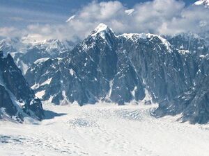
 Aerial view of Mount Kudlich | |
| Highest point | |
| Elevation | 11,301 ft (3,440 m) [1] |
| Prominence | 1,351 ft (412 m) [2] |
| Coordinates | [ ⚑ ] : 63°00′09″N 150°52′38″W / 63.0025°N 150.87722°W [1] |
| Geography | |
| Location | Denali National Park and Preserve Matanuska-Susitna Borough Alaska, United States |
| Parent range | Alaska Range |
| Topo map | USGS Mount McKinley A-2 |
| Geology | |
| Type of rock | Granite |
| Climbing | |
| First ascent | 1968 by Niklaus Lotscher and Heinz Alleman[3] |
| Easiest route | class 5.8 Southwest Ridge |
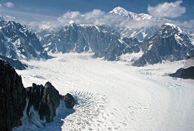
Mount Kudlich is an 11,301 ft (3,440 m) mountain summit located in the Alaska Range, in Denali National Park and Preserve, in Alaska, United States. Mount Kudlich is also referred to as Peak 11,300.[4] It is situated 4,000 feet above the confluence of the West and Northwest Forks of Ruth Glacier, on the west side of the Don Sheldon Amphitheater, 6.15 mi (10 km) southeast of Denali, 2.5 mi (4 km) north of Mount Huntington, and 3 mi (5 km) west-southwest of Mount Dan Beard. The mountain was possibly named by explorer Belmore Browne for Herman C. Kudlich (1861-1946), City Magistrate of New York and member of the American Museum of Natural History. Belmore Browne participated in Frederick Cook's 1906 expedition which claimed the first ascent of Mount McKinley, but was later disproved.
Further reading
- Joe Puryear's Alaska Climbing, (2006)
References
External links
- NOAA weather: Talkeetna
- Localized weather: Mountain Forecast
- YouTube: Avalanche on Kudlich


