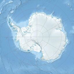
Earth:Mount Macdonald (Antarctica)
From HandWiki
Short description: Antarctic peak surmounting the ridge between Ludeman Glacier and Pain Neve
| Mount Macdonald | |
|---|---|
Dufek Coast, Antarctica | |
| Highest point | |
| Elevation | 3,630 m (11,910 ft) |
| Coordinates | [ ⚑ ] : 84°31′S 173°10′E / 84.517°S 173.167°E |
| Geography | |
| Location | Dufek Coast, Antarctica |
| Parent range | Commonwealth Range in the Queen Maud Mountains, Ludeman Glacier |
Mount Macdonald is a peak rising to 3,630 metres (11,910 ft) surmounting the massive N-S trending ridge between Ludeman Glacier and Pain Neve in the Commonwealth Range. Named by New Zealand Geological Survey Antarctic Expedition (NZGSAE) (1961–62) for the Hon. T.L. Macdonald, who was Minister of External Affairs and of Defence when the Commonwealth Trans-Antarctic Expedition (CTAE) (1956–58) was being planned and who took a prominent part in obtaining New Zealand participation in the Antarctic.[1]
References
![]() This article incorporates public domain material from the United States Geological Survey document "Mount Macdonald (Antarctica)" (content from the Geographic Names Information System).
This article incorporates public domain material from the United States Geological Survey document "Mount Macdonald (Antarctica)" (content from the Geographic Names Information System).

