Engineering:Top Station


Top Station is a tourist destination located in Theni district of Tamil nadu.[1][2][3] Top Station is notable as the historic transshipment location for Kannan Devan tea delivered there from Munnar and Madupatty by railway and then down by ropeway to Kottagudi.[4] This area is popular for the rare Neelakurinji flowers. The Kurinjimala Sanctuary is nearby. Top Station is the western entrance to the planned Palani Hills National Park.
History

Top Station was a transshipment point for delivery of tea from Munnar to Bodinayakkanur. Top Station derived its name from its being the upper terminus of the Kottagudi Aerial Ropeway. It was also the location of the terminal railway station on the Kundala Valley Railway, built in 1902 between Munnar, Kundalai and this low point in the crest of the hills above steep cliffs. A monorail goods carriage system was initially installed along this cart route.[5] In 1908 the monorail was replaced by a 24 inch gauge railway. Kundalai is 12 kilometers (7.5 mi) west from Top Station on the way from Munnar station.[4] Some remains of Kundala Valley Railway can be seen at the Munnar Tea Museum.[6]
Tea chests arriving at Top Station from the Kundalai Valley were transported by a ropeway from Top Station 5 km downhill to the south to Kurangani, Tamil Nadu. The tea was then shipped 15 km by cart to Bodinayakkanur, then by rail to other places in India and by ship to England .[4] Remains of the ropeway station at Top Station are still visible.[6][7] The elevation at the top of the Bodi ropeway was 1,911 meters (6,270 ft).[8]
Geography

Top Station offers a panoramic view of the majestic Western Ghats and the valley of Theni district. Top Station is located at [ ⚑ ] 10°07′24″N 77°14′02″E / 10.12333°N 77.23389°E. Its elevation is 1,880 meters (6,170 ft). It is 6.6 kilometers (4.1 mi) southwest of the highest point on the old Kodaikanal-Cochin escape road at 2,260 meters (7,410 ft) on the eastern shoulder of Vandaravu Peak, [ ⚑ ] 10°08′58″N 77°17′19″E / 10.14944°N 77.28861°E.[9][10][11]
References
- ↑ "Top Station- Bodi ghat road planned". The Hindu. 13 July 2017. https://www.thehindu.com/news/cities/Madurai/top-station-bodi-ghat-road-planned/article19272893.ece.
- ↑ "Kurangani Top Station | Theni District | India". https://theni.nic.in/tourist-place/kuranganitopstation/.
- ↑ "TN Revenue officials taking essentials to tribal families". https://www.newindianexpress.com/states/tamil-nadu/2020/apr/22/tn-revenue-officials-taking-essentials-to-tribal-families-2133731.html.
- ↑ 4.0 4.1 4.2 "Tea - A Cup of Life". Sands of Time (TATA Central Archives) v (1): 5–7. January 2006. Archived from the original on 2008-07-19. https://web.archive.org/web/20080719122226/http://www.tatacentralarchives.com/publications/newsletters/VOL-05-ISSUE-1-JAN-2006.pdf.
- ↑ Minutes of Proceedings of the Institution of Civil Engineers, Volume 161, by Institution of Civil Engineers (Great Britain) P332ff Thorp on Kotagiri Aerial Ropeway
- ↑ 6.0 6.1 Jose Jimmy (2007) Remains of Kundala Valley Railway, Munnar, Indian Railways Fan Club, retrieved 6/19/2007 History & Photos
- ↑ Thorp, Richard Fenwick (1904-05-19). Kotagudi Aerial Ropeway and connecting Roads in North Travancore. Minutes of Proceedings of the Institution of Civil Engineers. Item notes: v.161 pt.3. London: Institution of Civil Engineers. pp. 332–341, paper no. 3524. https://books.google.com/books?id=jZc1AAAAMAAJ&pg=PA332.
- ↑ Map showing Bodi ropeway
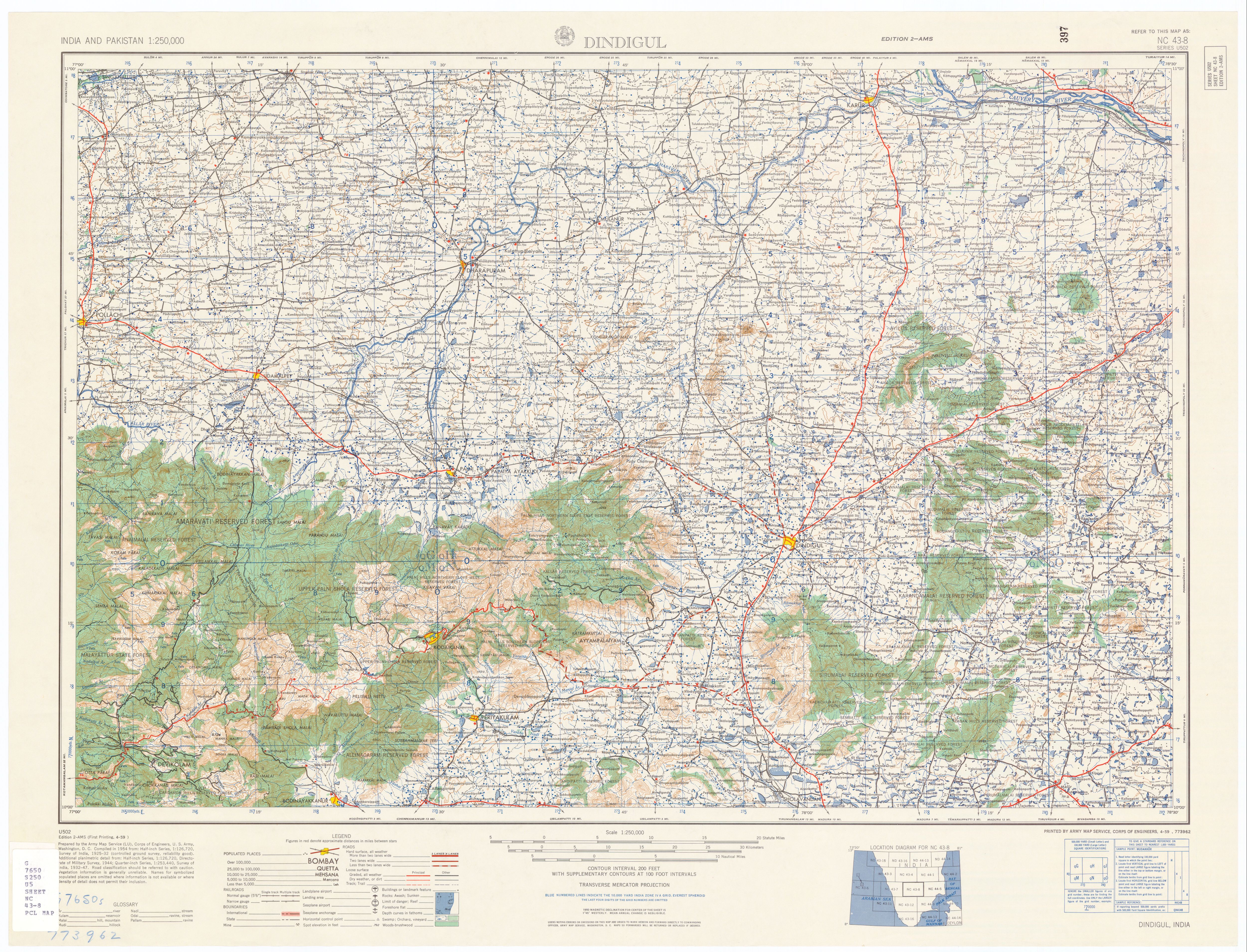
- ↑ U.S. Army Map Service (1955). "Dindigul". India. U.S. Army Topographic Command. pp. nc–43–08. http://www.lib.utexas.edu/maps/ams/india/nc-43-08.jpg. Retrieved 2009-01-24.
- ↑ Department of Tourism. "Munnar/Top Station". Government of Kerala. http://www.keralatourism.org/destination/hills/munnar-306.php. Retrieved 2009-01-23.
- ↑ "On the Escape Route". The Hindu (Chennai, India). 2005-09-17. http://www.hindu.com/mp/2005/09/17/stories/2005091701600300.htm. Retrieved 2007-12-12.
External links
[ ⚑ ] 10°07′24″N 77°14′42″E / 10.123396°N 77.24511°E
 |

