Place:Duékoué
From HandWiki
Duékoué | |
|---|---|
City, sub-prefecture, and commune | |
| Coordinates: [ ⚑ ] : 6°44′N 7°21′W / 6.733°N 7.35°W | |
| Country | |
| District | Montagnes |
| Region | Guémon |
| Department | Duékoué |
| Area | |
| • Total | 827 km2 (319 sq mi) |
| Population (2021 census)[2] | |
| • Total | 220,953 |
| • Density | 270/km2 (690/sq mi) |
| • City | 90,274[1] |
| (2014 census) | |
| Time zone | UTC+0 (GMT) |
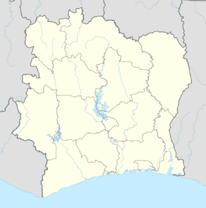
Duékoué (French: [dwekwe]) is a city in western Ivory Coast. It is a sub-prefecture of and the seat of Duékoué Department. It is also the seat of Guémon Region in Montagnes District and a commune. In the 2021 census, the population of the sub-prefecture of Duékoué was 220,953.[2]
History
At least 800 people were killed in Duékoué on 29 March 2011 during fierce fighting during the 2010–11 Ivorian crisis.[3]
Climate
The Köppen-Geiger climate classification system classifies its climate as tropical wet and dry (Aw).[4]
Script error: No such module "weather box".
Villages
The sixteen villages of the sub-prefecture of Duékoué and their population in 2014 are:[5]
References
- ↑ Citypopulation.de Population of cities & localities in Ivory Coast
- ↑ 2.0 2.1 Citypopulation.de Population of regions and sub-prefectures of Ivory Coast
- ↑ "Fighting in Ivory Coast town kills at least 800 people, Red Cross says". BNO News. Archived from the original on 22 July 2011. https://web.archive.org/web/20110722155322/http://wireupdate.com/wires/16360/fighting-in-ivory-coast-town-kills-at-least-800-people-red-cross-says/. Retrieved 2 April 2011.
- ↑ 4.0 4.1 "Climate: Duekoue - Climate graph, Temperature graph, Climate table". Climate-Data.org. http://en.climate-data.org/location/54112/. Retrieved 2014-01-06.
- ↑ "RGPH 2014, Répertoire des localités, Région Guémon". http://www.ins.ci/n/documents/rgph/GUEMON.pdf. Retrieved 5 August 2019.
 |


