Place:Popondetta
This article needs additional citations for verification. (December 2009) (Learn how and when to remove this template message) |
Popondetta Popondota | |
|---|---|
Town | |
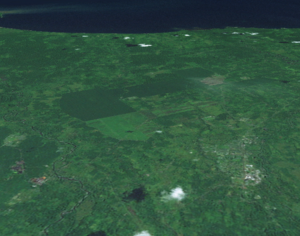
 Satellite view | |
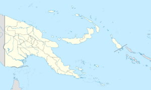
| Coordinates: [ ⚑ ] : 8°45′56″S 148°14′05″E / 8.76556°S 148.23472°E | |
| Country | |
| Province | Oro Province |
| District | Ijivitari District |
| LLG | Popondetta Urban |
| Elevation | 279 ft (85 m) |
| Population (2013) | |
| • Town | 49,244 |
| • Urban | 65,000~ |
| Time zone | UTC+10 (AEST) |
| Main languages | Orokaiva, Tok Pisin, English |
| Climate | Af |
Popondetta (sometimes spelled Popondota) is the capital of Oro (Northern) Province in Papua New Guinea. Popondetta is a city.
In 1951 the city became the focus of relief efforts after nearby Mount Lamington erupted and killed 4,000 people. [citation needed]
Popondetta is near to Buna on the Northern Papua coast and is not far from the beginning of the Kokoda Trail, made famous during World War II.
This area of New Guinea is home to the endangered Queen Alexandra's birdwing, the world's largest butterfly.
Climate
Popondetta has a tropical rainforest climate (Köppen Af) with heavy rainfall year-round. Script error: No such module "weather box".
Education
Newton Theological College is located in Popondetta. Papua New Guinea University of Natural Resources and Environment is located in the Sohe District.
References
- ↑ "Popondetta Climate (Papua New Guinea)". climate-data.org. https://en.climate-data.org/location/30362.
 |

